Manawahe Suburbs & Region, Manawahe Map & Postcodes in Manawahe, Whakatane, Bay of Plenty
Manawahe Postcodes, Manawahe ZipCodes, Manawahe , Manawahe Bay of Plenty, Manawahe Suburbs, Manawahe Region, Manawahe Map, Manawahe Area
Manawahe Region (Awakaponga, Manawaha Region)
Manawahe Suburbs
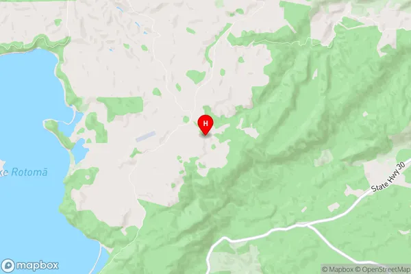
Manawahe is a suburb place type in Whakatane, Bay of Plenty, NZ. It contains 0 suburbs or localities.Manawahe Region Map
Manawahe Introduction
Manawahe is a small coastal settlement in the Bay of Plenty, New Zealand. It is located on the eastern coast of the Bay of Plenty, about 12 kilometers south of Tauranga City. The settlement is known for its beautiful beaches, clear waters, and stunning natural scenery. Manawahe has a population of around 200 people and is a popular destination for tourists and locals alike. The area is surrounded by lush green farmland and has a peaceful and relaxed atmosphere. There are several cafes and restaurants in the village, as well as a small supermarket and a petrol station. The nearby Manawahe Beach is a popular spot for swimming, surfing, and fishing, and there are also several walking and hiking trails in the area.Manawahe Region
Manawahe City
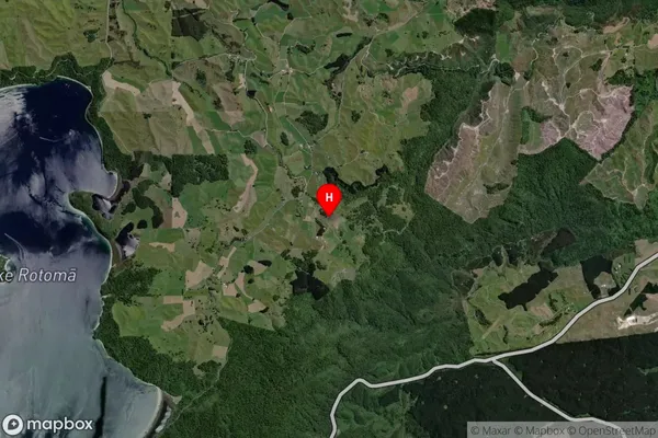
Manawahe Satellite Map
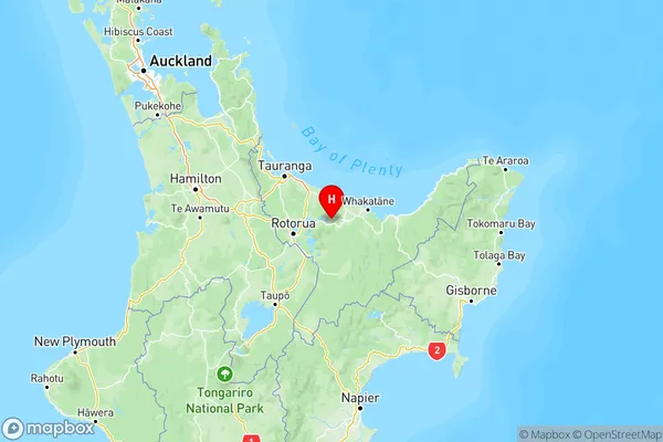
Full Address
Manawahe, Whakatane, Bay of PlentyManawahe Coordinates
-38.037087,176.63189 (Latitude / Longitude)Manawahe Map in NZ
NZ Island
North IslandCountry
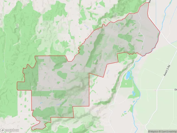
Manawahe Area Map (Polygon)
Name
ManawaheAdditional Name
Awakaponga, ManawahaLocal Authority
Whakatane District
Manawahe Suburbs (Sort by Population)
Manawahe also known as Awakaponga, Manawaha. Manawahe suburb has around
61.4 square
kilometers.There are more than 350 people (estimated)
live in Manawahe, Whakatane, Bay of Plenty, New Zealand.