Manawahe Area, Manawahe Postcode(3194) & Map in Manawahe
Manawahe Area, Manawahe Postcode(3194) & Map in Manawahe, Whakatane District, New Zealand
Manawahe, Whakatane District, New Zealand
Manawahe Postcodes
Manawahe Area (estimated)
61.4 square kilometersManawahe Population (estimated)
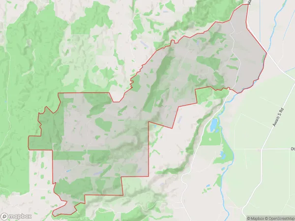
350 people live in Manawahe, Bay of Plenty, NZManawahe Suburb Area Map (Polygon)
Manawahe Introduction
Manawahe is a small rural community located in the Bay of Plenty region of New Zealand. It is known for its stunning natural surroundings, including lush forests, picturesque beaches, and crystal-clear rivers. The community has a population of around 100 people and is surrounded by farmland and rural landscapes. Manawahe is a popular destination for outdoor enthusiasts, with many opportunities for hiking, fishing, and kayaking. The area also has a rich cultural heritage, with several historic buildings and sites located within the community.Region
Major City
Suburb Name
ManawaheOther Name(s)
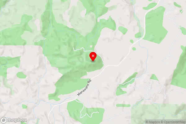
Awakaponga, ManawahaManawahe Area Map (Street)
Local Authority
Whakatane DistrictFull Address
Manawahe, Whakatane District, New ZealandAddress Type
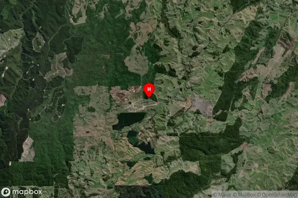
Locality in Town WhakataneManawahe Suburb Map (Satellite)
Country
Main Region in AU
Bay of PlentyManawahe Region Map

Coordinates
-37.962248,176.671177 (latitude/longitude)Distances
The distance from Manawahe, Whakatane, Whakatane District to NZ Top 10 Cities