Galatea Suburbs & Region, Galatea Map & Postcodes in Galatea, Whakatane, Bay of Plenty
Galatea Postcodes, Galatea ZipCodes, Galatea , Galatea Bay of Plenty, Galatea Suburbs, Galatea Region, Galatea Map, Galatea Area
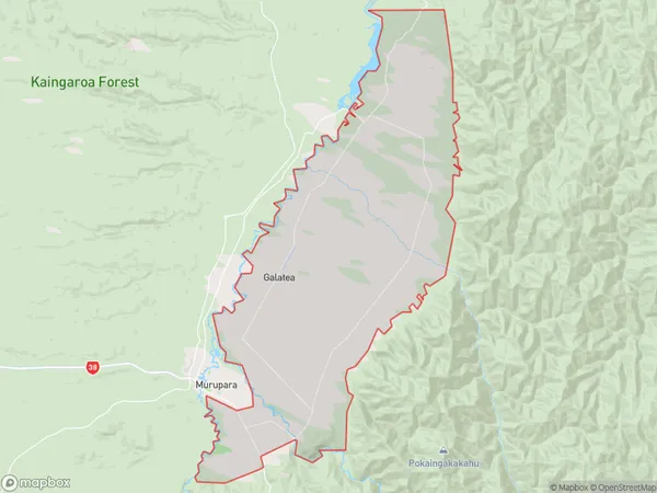
Galatea Region (Kaingaroa Forest North, Kopuriki Region)
Galatea Suburbs
Galatea is a suburb place type in Whakatane, Bay of Plenty, NZ. It contains 0 suburbs or localities.Galatea Postcodes
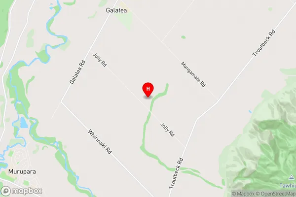
Galatea Region Map
Galatea Introduction
Galatea is a small rural community in the Bay of Plenty region of New Zealand. It is located on the eastern coast of the Bay of Plenty, about 10 kilometers south of Tauranga City. The community is known for its beautiful beaches, lush green countryside, and friendly locals. Galatea has a population of around 1,000 people and is a popular destination for tourists and holidaymakers. The area is surrounded by stunning natural scenery, including Mount Maunganui, the Bay of Plenty, and the Papamoa Hills. There are several recreational facilities in Galatea, including a golf course, a bowling club, and a tennis court. The community also has a primary school and a small supermarket.Galatea Region
Galatea City
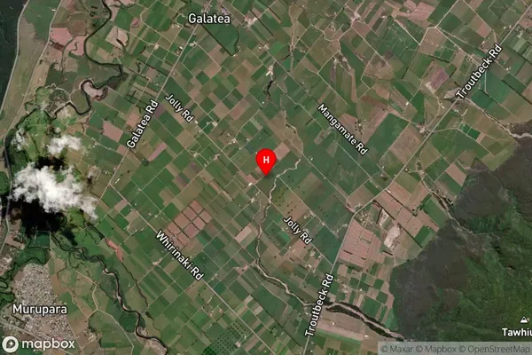
Galatea Satellite Map
Full Address
Galatea, Whakatane, Bay of PlentyGalatea Coordinates
-38.436466,176.749866 (Latitude / Longitude)Galatea Map in NZ

NZ Island
North IslandCountry
Galatea Area Map (Polygon)
Name
GalateaAdditional Name
Kaingaroa Forest North, KopurikiLocal Authority
Whakatane District
Galatea Suburbs (Sort by Population)
Galatea also known as Kaingaroa Forest North, Kopuriki. Galatea suburb has around
154.6 square
kilometers.There are more than 793 people (estimated)
live in Galatea, Whakatane, Bay of Plenty, New Zealand.