Awakeri Suburbs & Region, Awakeri Map & Postcodes in Awakeri, Whakatane, Bay of Plenty
Awakeri Postcodes, Awakeri ZipCodes, Awakeri , Awakeri Bay of Plenty, Awakeri Suburbs, Awakeri Region, Awakeri Map, Awakeri Area
Awakeri Region (Awakeri Springs, Paroa Region)
Awakeri Suburbs
Awakeri is a suburb place type in Whakatane, Bay of Plenty, NZ. It contains 0 suburbs or localities.Awakeri Region Map
Awakeri Introduction
Awakeri is a small coastal settlement in the Bay of Plenty, New Zealand. It is known for its stunning natural surroundings, including a beautiful beach, native forests, and a rich cultural heritage. The settlement has a population of around 1,000 people and is located about 20 minutes' drive from Whakatane. It is a popular destination for tourists and outdoor enthusiasts, with many activities to enjoy, such as hiking, fishing, and kayaking. The village also has a community hall, a library, and a small supermarket.Awakeri Region
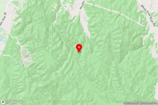
Awakeri City
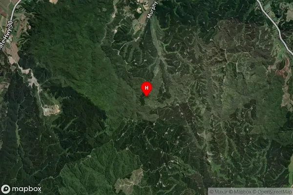
Awakeri Satellite Map
Full Address
Awakeri, Whakatane, Bay of PlentyAwakeri Coordinates
-38.033085,176.903604 (Latitude / Longitude)Awakeri Map in NZ
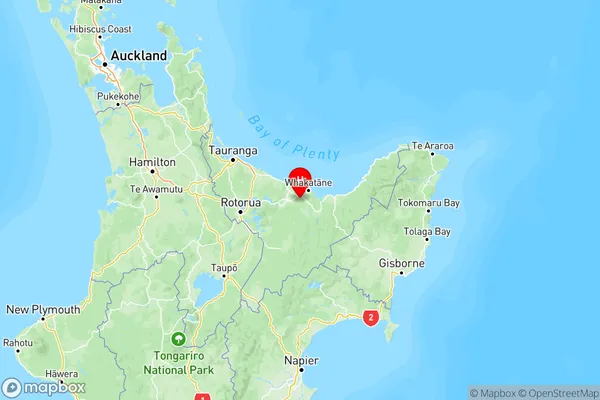
NZ Island
North IslandCountry
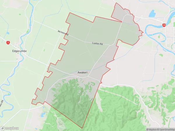
Awakeri Area Map (Polygon)
Name
AwakeriAdditional Name
Awakeri Springs, ParoaLocal Authority
Whakatane District
Awakeri Suburbs (Sort by Population)
Awakeri also known as Awakeri Springs, Paroa. Awakeri suburb has around
55.0 square
kilometers.There are more than 871 people (estimated)
live in Awakeri, Whakatane, Bay of Plenty, New Zealand.