Awakeri Area, Awakeri Postcode(3192) & Map in Awakeri
Awakeri Area, Awakeri Postcode(3192) & Map in Awakeri, Whakatane District, New Zealand
Awakeri, Whakatane District, New Zealand
Awakeri Postcodes
Awakeri Area (estimated)
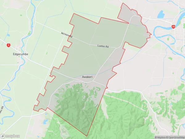
55.0 square kilometersAwakeri Population (estimated)
871 people live in Awakeri, Bay of Plenty, NZAwakeri Suburb Area Map (Polygon)
Awakeri Introduction
Awakeri is a small coastal settlement in the Bay of Plenty, New Zealand. It is known for its stunning natural surroundings, including pristine beaches, lush forests, and crystal-clear rivers. The area is popular with tourists and outdoor enthusiasts, who enjoy activities such as hiking, fishing, and kayaking. The settlement also has a rich cultural heritage, with several historic buildings and a museum dedicated to the area's Maori history and culture.Region
Major City
Suburb Name
AwakeriOther Name(s)
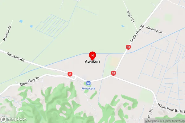
Awakeri Springs, ParoaAwakeri Area Map (Street)
Local Authority
Whakatane DistrictFull Address
Awakeri, Whakatane District, New ZealandAddress Type
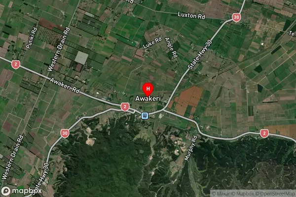
Locality in Town WhakataneAwakeri Suburb Map (Satellite)
Country
Main Region in AU
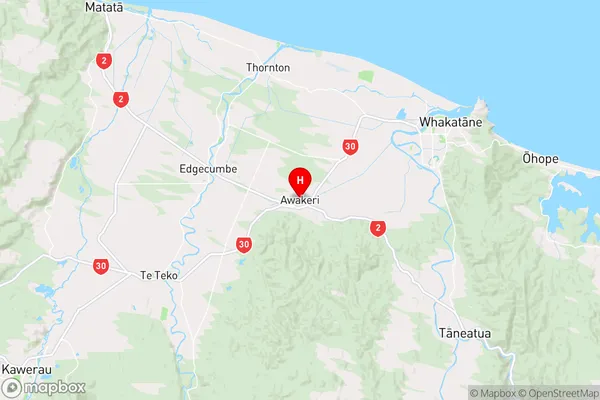
Bay of PlentyAwakeri Region Map
Coordinates
-37.9941167,176.8911087 (latitude/longitude)Distances
The distance from Awakeri, Whakatane, Whakatane District to NZ Top 10 Cities