Te Puna Suburbs & Region, Te Puna Map & Postcodes in Te Puna, Western Bay Of Plenty, Bay of Plenty
Te Puna Postcodes, Te Puna ZipCodes, Te Puna , Te Puna Bay of Plenty, Te Puna Suburbs, Te Puna Region, Te Puna Map, Te Puna Area
Te Puna Region
Te Puna Suburbs
Te Puna is a suburb place type in Western Bay Of Plenty, Bay of Plenty, NZ. It contains 0 suburbs or localities.Te Puna district
Western Bay Of PlentyTe Puna Region Map
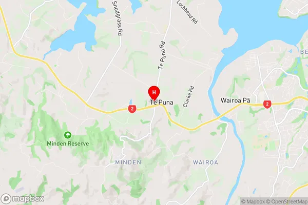
Te Puna Introduction
Te Puna is a small town in the Bay of Plenty region of New Zealand. It is located on the eastern coast of the North Island, about 120 kilometers southeast of Tauranga. The town is known for its beautiful beaches, including Hot Water Beach, which is famous for its hot springs and natural geothermal pools. Te Puna also has a rich cultural heritage, with several historic buildings and a museum dedicated to the region's Maori culture. The town is surrounded by stunning natural scenery, including mountains, forests, and farmland, and is a popular destination for outdoor activities such as hiking, cycling, and fishing.Te Puna Region
Te Puna City
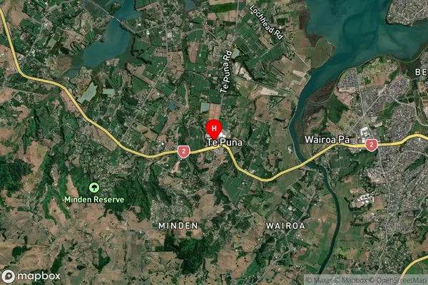
Te Puna Satellite Map
Full Address
Te Puna, Western Bay Of Plenty, Bay of PlentyTe Puna Coordinates
-37.69504,176.072557 (Latitude / Longitude)Te Puna Map in NZ
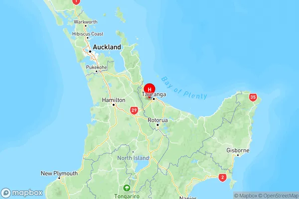
NZ Island
North IslandCountry
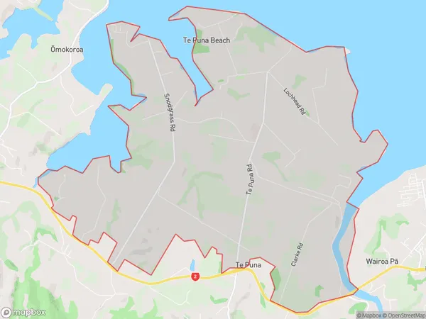
Te Puna Area Map (Polygon)
Name
Te PunaAdditional Name
Local Authority
Western Bay of Plenty District
Te Puna Suburbs (Sort by Population)
Te Puna suburb has around
19.4 square
kilometers.There are more than 2383 people (estimated)
live in Te Puna, Tauranga, Bay of Plenty, New Zealand.