Te Puna Area, Te Puna Postcode(3176) & Map in Te Puna
Te Puna Area, Te Puna Postcode(3176) & Map in Te Puna, Western Bay of Plenty District, New Zealand
Te Puna, Western Bay of Plenty District, New Zealand
Te Puna Postcodes
Te Puna Area (estimated)
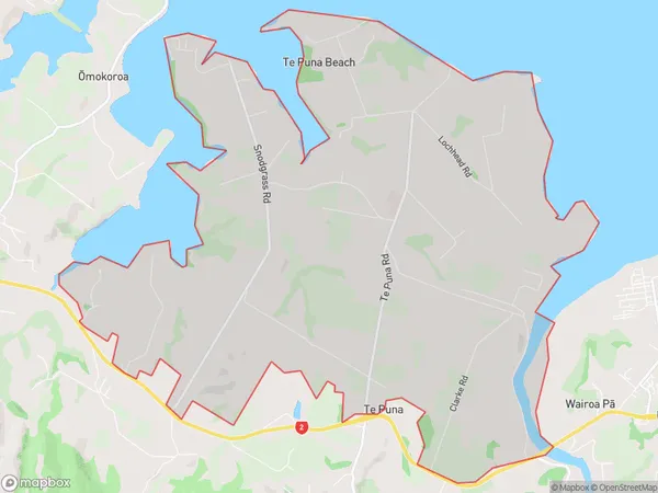
19.4 square kilometersTe Puna Population (estimated)
2383 people live in Te Puna, Bay of Plenty, NZTe Puna Suburb Area Map (Polygon)
Te Puna Introduction
Te Puna is a suburb of Tauranga in the Bay of Plenty region of New Zealand. It is known for its beautiful beaches, volcanic rock formations, and lush green parks. The suburb has a population of around 10,000 people and is located about 20 kilometers from Tauranga city center. It is a popular destination for tourists and locals alike, with many recreational facilities and attractions nearby.Region
Major City
Suburb Name
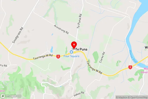
Te PunaTe Puna Area Map (Street)
Local Authority
Western Bay of Plenty DistrictFull Address
Te Puna, Western Bay of Plenty District, New ZealandAddress Type
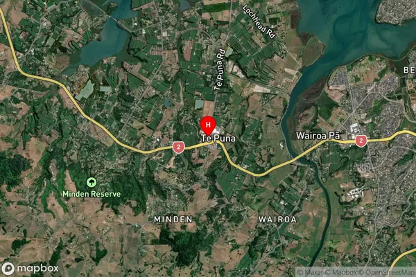
Locality in City TaurangaTe Puna Suburb Map (Satellite)
Country
Main Region in AU
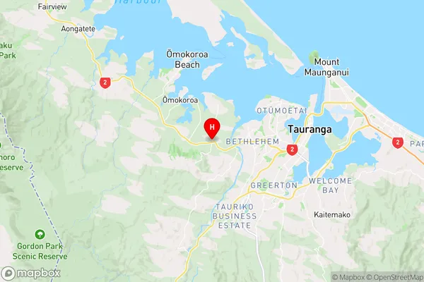
Bay of PlentyTe Puna Region Map
Coordinates
-37.6950396,176.0725566 (latitude/longitude)Distances
The distance from Te Puna, Tauranga, Western Bay of Plenty District to NZ Top 10 Cities