Pyes Pa Suburbs & Region, Pyes Pa Map & Postcodes in Pyes Pa, Western Bay Of Plenty, Bay of Plenty
Pyes Pa Postcodes, Pyes Pa ZipCodes, Pyes Pa , Pyes Pa Bay of Plenty, Pyes Pa Suburbs, Pyes Pa Region, Pyes Pa Map, Pyes Pa Area
Pyes Pa Region (Te Ranga Region)
Pyes Pa Suburbs
Pyes Pa is a suburb place type in Western Bay Of Plenty, Bay of Plenty, NZ. It contains 0 suburbs or localities.Pyes Pa Postcodes
Pyes Pa district
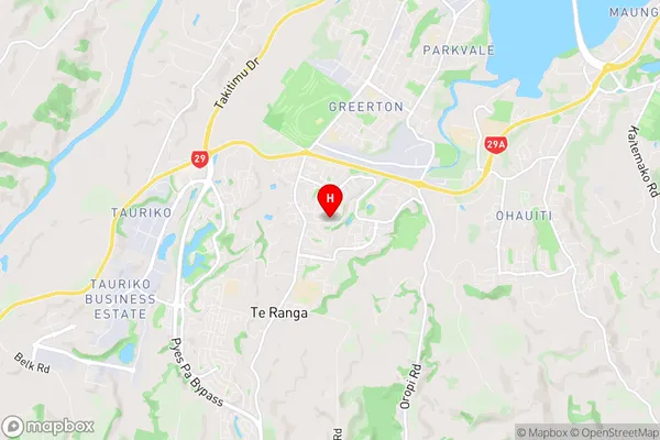
Western Bay Of PlentyPyes Pa Region Map
Pyes Pa Introduction
Pyes Pa is a small beach town located on the eastern coast of the Bay of Plenty in New Zealand. It is known for its stunning sunsets, clear waters, and relaxed atmosphere. The town is surrounded by picturesque farmland and has a population of around 2,000 people. Pyes Pa is a popular destination for tourists and locals alike, with many activities to enjoy, including swimming, surfing, fishing, and hiking. The town also has a number of restaurants and cafes, as well as a small supermarket and a medical center.Pyes Pa Region
Pyes Pa City
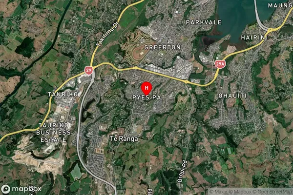
Pyes Pa Satellite Map
Full Address
Pyes Pa, Western Bay Of Plenty, Bay of PlentyPyes Pa Coordinates
-37.743235,176.127009 (Latitude / Longitude)Pyes Pa Map in NZ
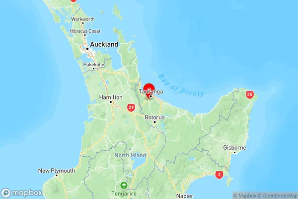
NZ Island
North IslandCountry
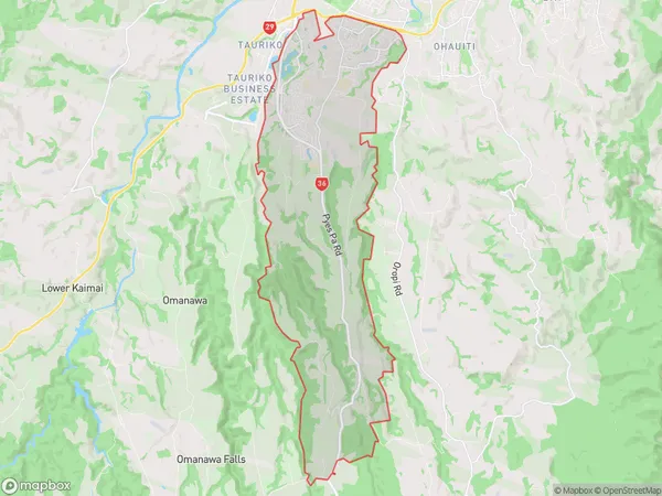
Pyes Pa Area Map (Polygon)
Name
Pyes PaAdditional Name
Te RangaLocal Authority
Tauranga City, Western Bay of Plenty District
Pyes Pa Suburbs (Sort by Population)
Pyes Pa also known as Te Ranga. Pyes Pa suburb has around
38.8 square
kilometers.There are more than 14963 people (estimated)
live in Pyes Pa, Tauranga, Bay of Plenty, New Zealand.