Pyes Pa Area, Pyes Pa Postcode(3112) & Map in Pyes Pa, Tauranga City
Pyes Pa Area, Pyes Pa Postcode(3112) & Map in Pyes Pa, Tauranga City, Western Bay of Plenty District, New Zealand
Pyes Pa, Tauranga City, Western Bay of Plenty District, New Zealand
Pyes Pa Postcodes
Pyes Pa Area (estimated)
38.8 square kilometersPyes Pa Population (estimated)
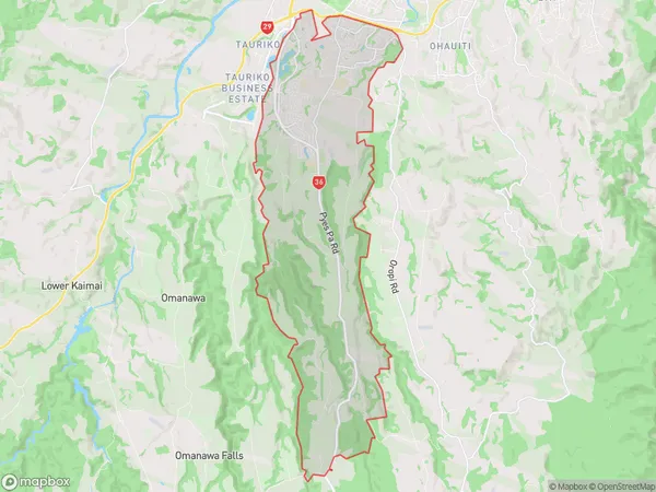
14963 people live in Pyes Pa, Tauranga, NZPyes Pa Suburb Area Map (Polygon)
Pyes Pa Introduction
Pyes Pa is a beachside suburb of Tauranga, Bay of Plenty, New Zealand. It is well-known for its stunning beach, volcanic rock formations, and vibrant cultural heritage. Pyes Pa also has a variety of recreational activities, including swimming, surfing, fishing, and walking. The suburb is home to a large population of Maori, who have a strong presence in the area's culture and traditions.Region
Major City
Suburb Name
Pyes PaOther Name(s)
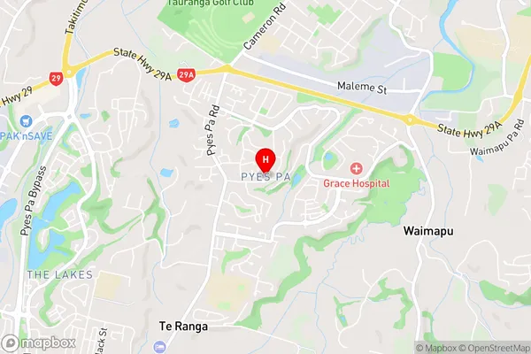
Te RangaPyes Pa Area Map (Street)
Local Authority
Tauranga City, Western Bay of Plenty DistrictFull Address
Pyes Pa, Tauranga City, Western Bay of Plenty District, New ZealandAddress Type
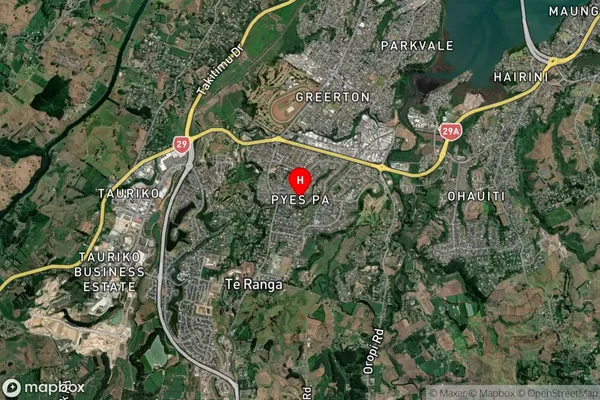
Suburb in City TaurangaPyes Pa Suburb Map (Satellite)
Country
Main Region in AU
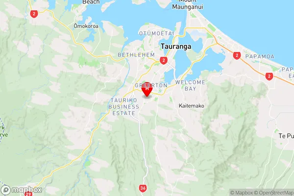
Bay of PlentyPyes Pa Region Map
Coordinates
-37.7432349,176.1270091 (latitude/longitude)Distances
The distance from Pyes Pa, Tauranga, Tauranga City, Western Bay of Plenty District to NZ Top 10 Cities