Pahoia Suburbs & Region, Pahoia Map & Postcodes in Pahoia, Western Bay Of Plenty, Bay of Plenty
Pahoia Postcodes, Pahoia ZipCodes, Pahoia , Pahoia Bay of Plenty, Pahoia Suburbs, Pahoia Region, Pahoia Map, Pahoia Area
Pahoia Region (Apata, Pahoia Region)
Pahoia Suburbs
Pahoia is a suburb place type in Western Bay Of Plenty, Bay of Plenty, NZ. It contains 0 suburbs or localities.Pahoia district
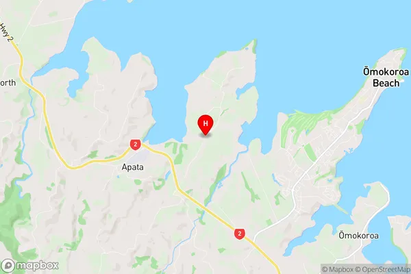
Western Bay Of PlentyPahoia Region Map

Pahoia Introduction
Pahoia is a small rural community located in the Bay of Plenty region of New Zealand. It is situated on the eastern coast of the Bay of Plenty, approximately 30 kilometers south of Tauranga and 120 kilometers north of Rotorua. The community is known for its picturesque surroundings, including rolling hills, lush green farmland, and stunning coastal views. Pahoia has a population of around 100 people and is home to a variety of businesses, including a dairy farm, a convenience store, and a post office. The community also has a primary school and a church. Pahoia is a popular destination for tourists who enjoy hiking, fishing, and exploring the local wildlife. The area is also home to several historic sites, including a former kauri gum factory and a historic church.Pahoia Region
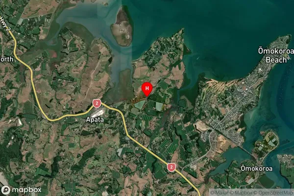
Pahoia Satellite Map

Full Address
Pahoia, Western Bay Of Plenty, Bay of PlentyPahoia Coordinates
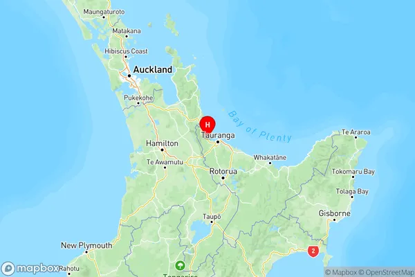
-37.643937,176.003208 (Latitude / Longitude)Pahoia Map in NZ

NZ Island
North IslandCountry
Pahoia Area Map (Polygon)
Not available for nowName
WhakamaramaAdditional Name
Apata, PahoiaLocal Authority
Western Bay of Plenty District
Pahoia Suburbs (Sort by Population)
Whakamarama also known as Apata, Pahoia. Whakamarama suburb has around
-1.2 square
kilometers.There are more than 4340 people (estimated)
live in Whakamarama, , Bay of Plenty, New Zealand.