Whakamarama Area, Whakamarama Postcode(3179) & Map in Whakamarama
Whakamarama Area, Whakamarama Postcode(3179) & Map in Whakamarama, Western Bay of Plenty District, New Zealand
Whakamarama, Western Bay of Plenty District, New Zealand
Whakamarama Area (estimated)
-1.2 square kilometersWhakamarama Population (estimated)
4340 people live in Whakamarama, Bay of Plenty, NZWhakamarama Suburb Area Map (Polygon)
Not available for nowWhakamarama Introduction
Whakamarama is a popular beach destination in the Bay of Plenty, New Zealand. It is known for its clear waters, stunning coastal scenery, and vibrant marine life. Visitors can enjoy swimming, snorkeling, and kayaking, and there are also several walking trails and picnic spots. The beach is located on the western coast of the Bay of Plenty and is approximately 2 hours' drive from Auckland.Region
Major City
Suburb Name
Whakamarama (Maori Name: Whakamārama)Other Name(s)
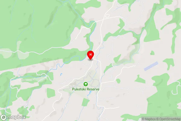
Apata, PahoiaWhakamarama Area Map (Street)
Local Authority
Western Bay of Plenty DistrictFull Address
Whakamarama, Western Bay of Plenty District, New ZealandAddress Type
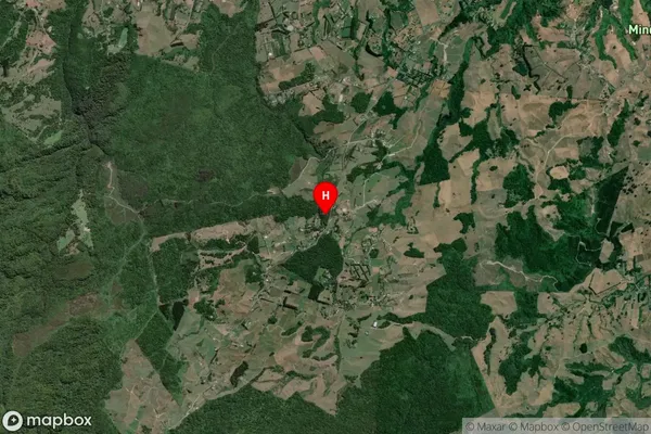
Locality in Town WhakamaramaWhakamarama Suburb Map (Satellite)
Country
Main Region in AU
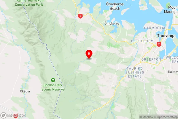
Bay of PlentyWhakamarama Region Map
Coordinates
-37.7293616,175.9885802 (latitude/longitude)Distances
The distance from Whakamarama, Whakamarama, Western Bay of Plenty District to NZ Top 10 Cities