Paengaroa Suburbs & Region, Paengaroa Map & Postcodes in Paengaroa, Western Bay Of Plenty, Bay of Plenty
Paengaroa Postcodes, Paengaroa ZipCodes, Paengaroa , Paengaroa Bay of Plenty, Paengaroa Suburbs, Paengaroa Region, Paengaroa Map, Paengaroa Area
Paengaroa Region (Maniatutu, Rotoiti, Te Tumu Region)
Paengaroa Suburbs
Paengaroa is a suburb place type in Western Bay Of Plenty, Bay of Plenty, NZ. It contains 1 suburbs or localities.Paengaroa Postcodes
Paengaroa district
Western Bay Of PlentyPaengaroa Region Map
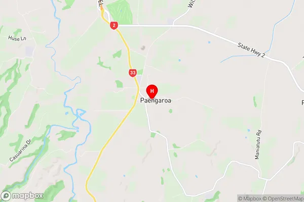
Paengaroa Introduction
Paengaroa is a small town in the Bay of Plenty region of New Zealand. It is located on the southern coast of the Bay of Plenty and is known for its beautiful beaches, stunning natural scenery, and friendly community. The town has a population of around 1,000 people and is surrounded by lush farmland and picturesque forests. Paengaroa is a popular destination for tourists and locals alike, with many activities to enjoy such as hiking, fishing, surfing, and kayaking. The town also has a historic church, a community hall, and a small supermarket.Paengaroa Region
Paengaroa City
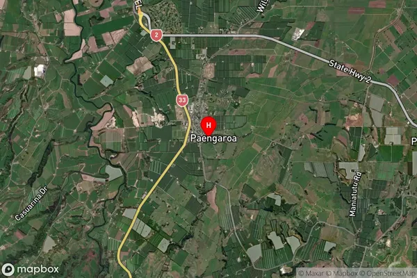
Paengaroa Satellite Map
Full Address
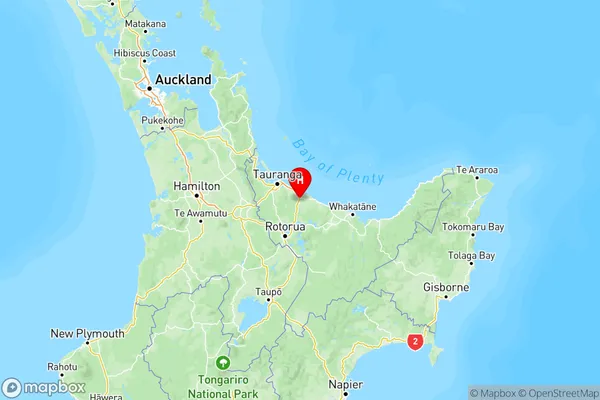
Paengaroa, Western Bay Of Plenty, Bay of PlentyPaengaroa Coordinates
-37.825113,176.416043 (Latitude / Longitude)Paengaroa Map in NZ
NZ Island
North IslandCountry
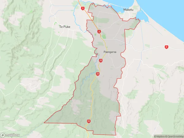
Paengaroa Area Map (Polygon)
Name
PaengaroaAdditional Name
Maniatutu, Rotoiti, Te TumuLocal Authority
Western Bay of Plenty District
Paengaroa Suburbs (Sort by Population)
Paengaroa
Paengaroa - 2712