Paengaroa Area, Paengaroa Postcode(3189) & Map in Paengaroa
Paengaroa Area, Paengaroa Postcode(3189) & Map in Paengaroa, Western Bay of Plenty District, New Zealand
Paengaroa, Western Bay of Plenty District, New Zealand
Paengaroa Postcodes
Paengaroa Area (estimated)
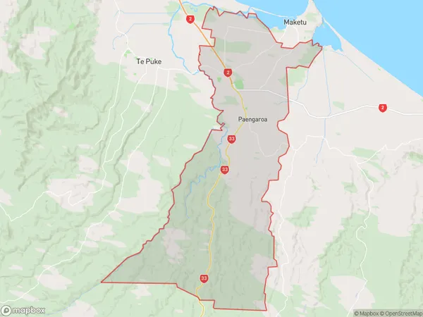
192.9 square kilometersPaengaroa Population (estimated)
2712 people live in Paengaroa, Bay of Plenty, NZPaengaroa Suburb Area Map (Polygon)
Paengaroa Introduction
Paengaroa is a small town in the Bay of Plenty, New Zealand. It is known for its beautiful beaches, lush green forests, and stunning mountain views. The town has a population of around 1,000 people and is located on the eastern coast of the Bay of Plenty. It is a popular destination for tourists and locals alike, with many activities to enjoy, including hiking, fishing, and surfing.Region
Major City
Suburb Name
PaengaroaOther Name(s)
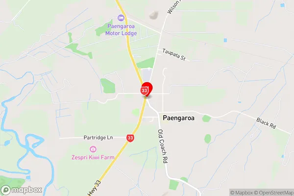
Maniatutu, Rotoiti, Te TumuPaengaroa Area Map (Street)
Local Authority
Western Bay of Plenty DistrictFull Address
Paengaroa, Western Bay of Plenty District, New ZealandAddress Type
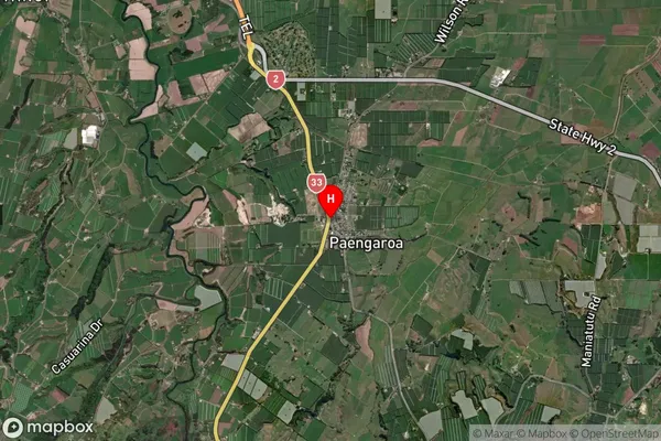
Locality in Town PaengaroaPaengaroa Suburb Map (Satellite)
Country
Main Region in AU
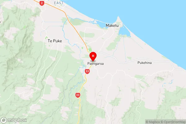
Bay of PlentyPaengaroa Region Map
Coordinates
-37.8221987,176.411715 (latitude/longitude)Distances
The distance from Paengaroa, Paengaroa, Western Bay of Plenty District to NZ Top 10 Cities