Ohaeawai Suburbs & Region, Ohaeawai Map & Postcodes in Ohaeawai, Far North, Northland
Ohaeawai Postcodes, Ohaeawai ZipCodes, Ohaeawai , Ohaeawai Northland, Ohaeawai Suburbs, Ohaeawai Region, Ohaeawai Map, Ohaeawai Area
Ohaeawai Region (Remuera Settlement, Te Ahuahu Region)
Ohaeawai Suburbs
Ohaeawai is a suburb place type in Far North, Northland, NZ. It contains 0 suburbs or localities.Ohaeawai district
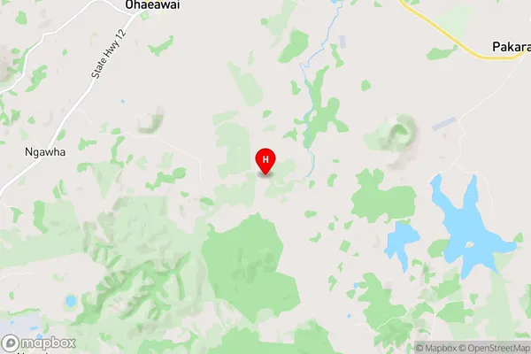
Far NorthOhaeawai Region Map
Ohaeawai Introduction
Ohaeawai is a small settlement in Northland, New Zealand. It is located on the banks of the Ohaeawai River, about 12 kilometers south of Kaitaia. The settlement has a population of around 100 people and is known for its scenic surroundings and traditional Maori culture. The area is popular with tourists and outdoor enthusiasts, who enjoy activities such as fishing, hiking, and kayaking. The settlement also has a primary school and a post office.Ohaeawai Region
Ohaeawai City
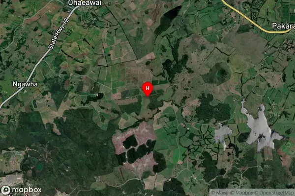
Ohaeawai Satellite Map
Full Address
Ohaeawai, Far North, NorthlandOhaeawai Coordinates
-35.379161,173.904099 (Latitude / Longitude)Ohaeawai Map in NZ
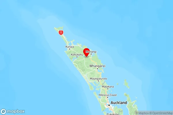
NZ Island
North IslandCountry
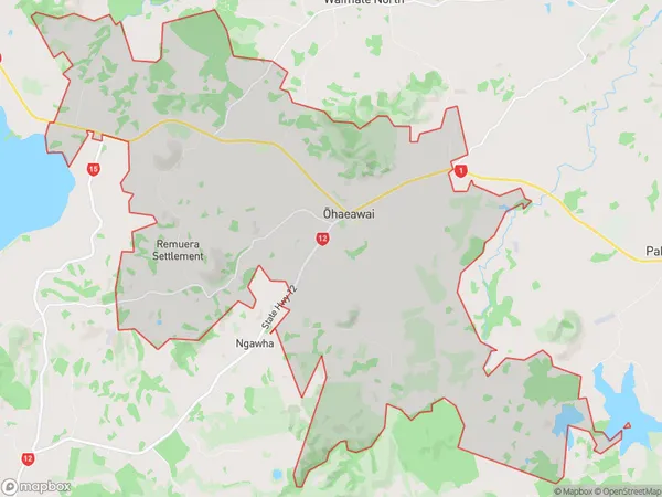
Ohaeawai Area Map (Polygon)
Name
OhaeawaiAdditional Name
Remuera Settlement, Te AhuahuLocal Authority
Far North District
Ohaeawai Suburbs (Sort by Population)
Ohaeawai also known as Remuera Settlement, Te Ahuahu. Ohaeawai suburb has around
59.3 square
kilometers.There are more than 756 people (estimated)
live in Ohaeawai, Kaikohe-Hokianga Community, Northland, New Zealand.