Athenree Suburbs & Region, Athenree Map & Postcodes in Athenree, Western Bay Of Plenty, Bay of Plenty
Athenree Postcodes, Athenree ZipCodes, Athenree , Athenree Bay of Plenty, Athenree Suburbs, Athenree Region, Athenree Map, Athenree Area
Athenree Region (Island View Region)
Athenree Suburbs
Athenree is a suburb place type in Western Bay Of Plenty, Bay of Plenty, NZ. It contains 0 suburbs or localities.Athenree district
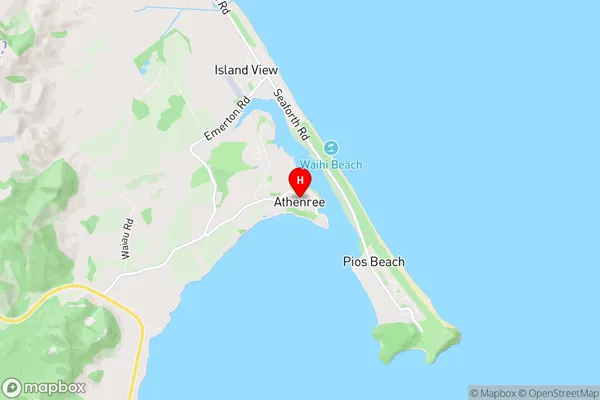
Western Bay Of PlentyAthenree Region Map
Athenree Introduction
Athenree is a small rural settlement in the Bay of Plenty region of New Zealand. It is located on State Highway 2, approximately 25 kilometers southeast of Tauranga and 30 kilometers northwest of Rotorua. The settlement is surrounded by farmland and has a population of around 100 people. Athenree has a post office, a general store, and a community hall. The area is known for its scenic beauty, with rolling hills and lush green valleys. There are several walking and hiking trails in the surrounding area, and the nearby Athenree Hot Springs are a popular tourist destination.Athenree Region
Athenree City
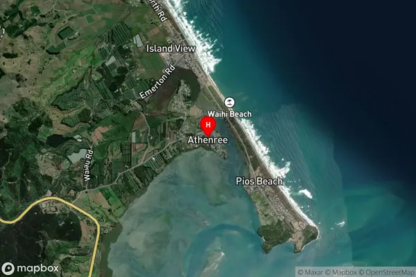
Athenree Satellite Map
Full Address
Athenree, Western Bay Of Plenty, Bay of PlentyAthenree Coordinates
-37.446442,175.964055 (Latitude / Longitude)Athenree Map in NZ
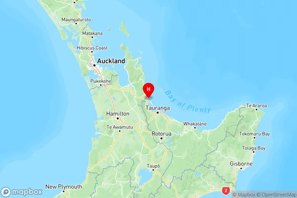
NZ Island
North IslandCountry
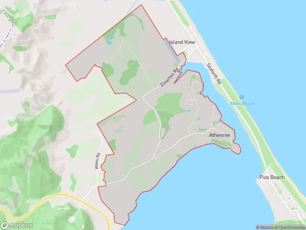
Athenree Area Map (Polygon)
Name
AthenreeAdditional Name
Island ViewLocal Authority
Western Bay of Plenty District
Athenree Suburbs (Sort by Population)
Athenree also known as Island View. Athenree suburb has around
9.0 square
kilometers.There are more than 1059 people (estimated)
live in Athenree, Katikati, Bay of Plenty, New Zealand.