Athenree Area, Athenree Postcode(3177) & Map in Athenree
Athenree Area, Athenree Postcode(3177) & Map in Athenree, Western Bay of Plenty District, New Zealand
Athenree, Western Bay of Plenty District, New Zealand
Athenree Area (estimated)
9.0 square kilometersAthenree Population (estimated)
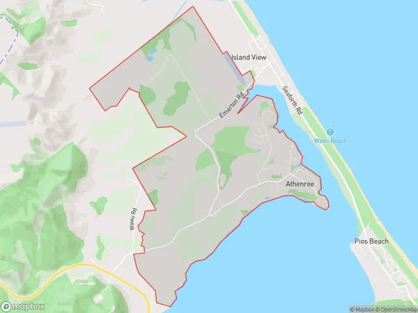
1059 people live in Athenree, Bay of Plenty, NZAthenree Suburb Area Map (Polygon)
Athenree Introduction
Athenree is a small rural community in the Bay of Plenty, New Zealand. It is located on State Highway 2, approximately 30 minutes south of Waihi Beach and 2 hours north of Tauranga. The community has a population of around 100 people and is known for its beautiful natural surroundings, including the Athenree Hot Springs. The area has a rich history, with evidence of early Māori settlement dating back to 1300 years ago.Region
Major City
Suburb Name
AthenreeOther Name(s)
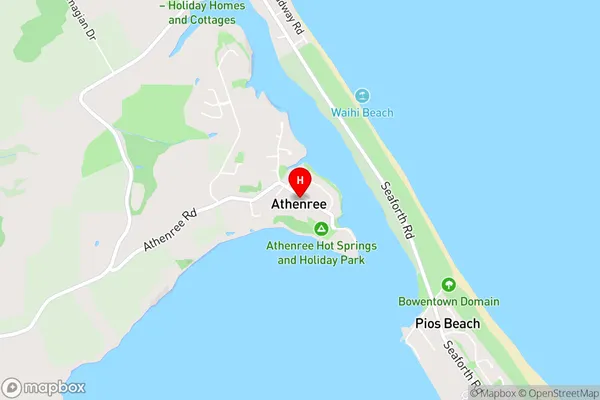
Island ViewAthenree Area Map (Street)
Local Authority
Western Bay of Plenty DistrictFull Address
Athenree, Western Bay of Plenty District, New ZealandAddress Type
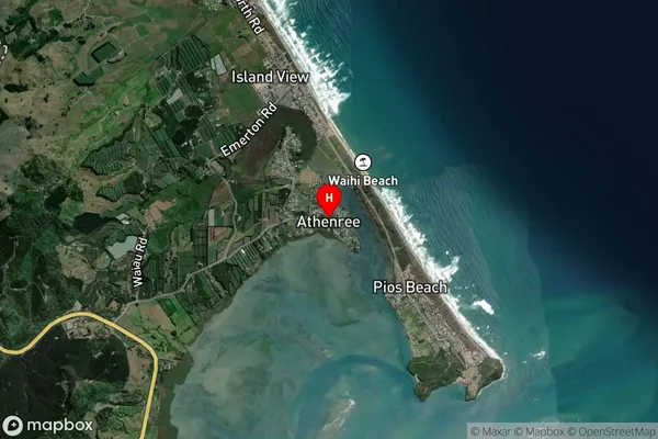
Suburb in Town Waihi BeachAthenree Suburb Map (Satellite)
Country
Main Region in AU
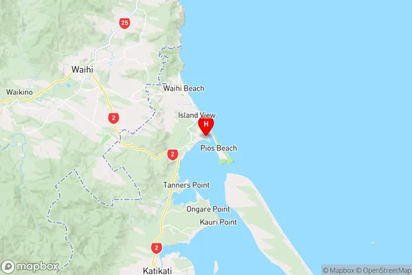
Bay of PlentyAthenree Region Map
Coordinates
-37.4464423,175.964055 (latitude/longitude)Distances
The distance from Athenree, Waihi Beach, Western Bay of Plenty District to NZ Top 10 Cities