Aongatete Suburbs & Region, Aongatete Map & Postcodes in Aongatete, Western Bay Of Plenty, Bay of Plenty

Aongatete Postcodes, Aongatete ZipCodes, Aongatete , Aongatete Bay of Plenty, Aongatete Suburbs, Aongatete Region, Aongatete Map, Aongatete Area

Aongatete Region (Angatete, Wainui North Region)

  • Aongatete Suburbs

    Aongatete is a suburb place type in Western Bay Of Plenty, Bay of Plenty, NZ. It contains 1 suburbs or localities.
  • Aongatete Postcodes

    3181
  • Aongatete district

    Western Bay Of Plenty
  • Aongatete Region Map

    Aongatete, Bay of Plenty Region Map
  • Aongatete Introduction

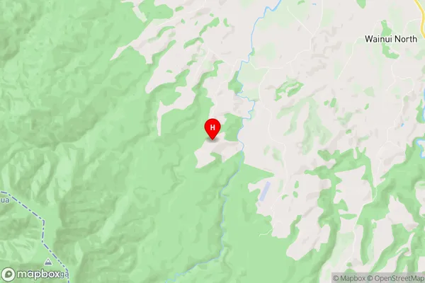
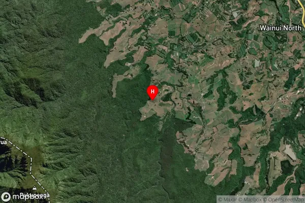
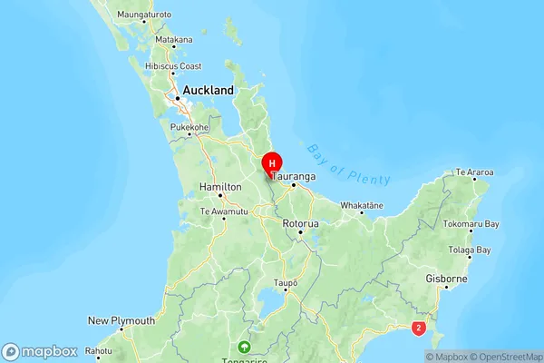
    Aongatete is a small rural community in the Bay of Plenty region of New Zealand. It is situated on the banks of the Aongatete River, approximately 20 kilometers southeast of Tauranga City. The area is known for its scenic countryside, with rolling hills, lush green fields, and picturesque farms. Aongatete has a population of around 1,000 people and is home to a variety of businesses, including a dairy farm, a primary school, and a small supermarket. The community is also home to a number of historic buildings, including the Aongatete Church, which was built in 1876. The Aongatete River is a popular spot for fishing and boating, and the nearby Aongatete Forest Park is a popular destination for hiking and nature walks.
  • Aongatete Region

  • Aongatete City

  • Aongatete Satellite Map

    Aongatete, Bay of Plenty Satellite Map
  • Full Address

    Aongatete, Western Bay Of Plenty, Bay of Plenty
  • Aongatete Coordinates

    -37.652844,175.906065 (Latitude / Longitude)
  • Aongatete Map in NZ

    Aongatete, Bay of Plenty Region Map
  • NZ Island

    North Island
  • Aongatete Area Map (Polygon)

    Aongatete, Bay of Plenty Polygon Area Map
  • Name

    Aongatete
  • Additional Name

    Angatete, Wainui North
  • Local Authority

    Western Bay of Plenty District

Aongatete Suburbs (Sort by Population)

Aongatete Suburbs (Sort in alphabetical)