Aongatete Area, Aongatete Postcode(3181) & Map in Aongatete
Aongatete Area, Aongatete Postcode(3181) & Map in Aongatete, Western Bay of Plenty District, New Zealand
Aongatete, Western Bay of Plenty District, New Zealand
Aongatete Postcodes
Aongatete Area (estimated)
78.1 square kilometersAongatete Population (estimated)
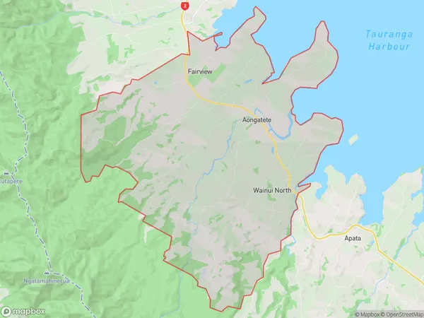
2394 people live in Aongatete, Bay of Plenty, NZAongatete Suburb Area Map (Polygon)
Aongatete Introduction
Aongatete is a small rural town in the Bay of Plenty, New Zealand. It is known for its beautiful gardens and peaceful atmosphere, and is a popular destination for tourists and locals alike. The town is located on the banks of the Aongatete River, and has a population of around 1,000 people. The town has a variety of shops and services, including a supermarket, a pharmacy, a post office, and a hotel. The town also has a community hall, a library, and a sports field.Region
Major City
Suburb Name
AongateteOther Name(s)
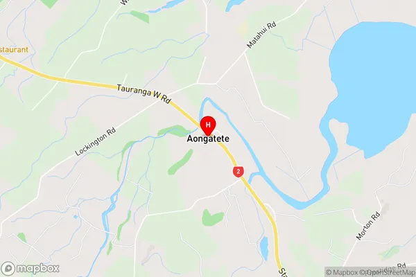
Angatete, Wainui NorthAongatete Area Map (Street)
Local Authority
Western Bay of Plenty DistrictFull Address
Aongatete, Western Bay of Plenty District, New ZealandAddress Type
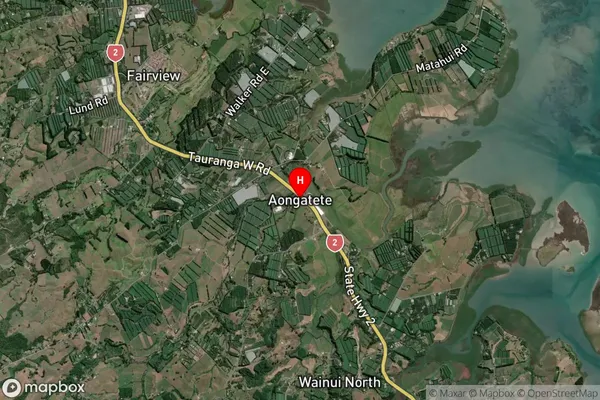
Locality in Town AongateteAongatete Suburb Map (Satellite)
Country
Main Region in AU
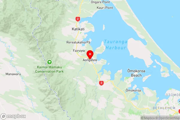
Bay of PlentyAongatete Region Map
Coordinates
-37.6083696,175.9425217 (latitude/longitude)Distances
The distance from Aongatete, Aongatete, Western Bay of Plenty District to NZ Top 10 Cities