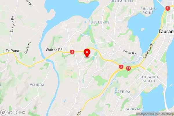
Bethlehem Suburbs & Region, Bethlehem Map & Postcodes in Bethlehem, Tauranga, Bay of Plenty
Bethlehem Postcodes, Bethlehem ZipCodes, Bethlehem , Bethlehem Bay of Plenty, Bethlehem Suburbs, Bethlehem Region, Bethlehem Map, Bethlehem Area
Bethlehem Region (Ashmore Park, Avenues East, Avenues West, Belvedere, Bethlehem Heights, Cambridge Heights, La Cumbre, Sterling Gate, Te Reti, Wairoa Pa Region)
Bethlehem Suburbs
Bethlehem is a suburb place type in Tauranga, Bay of Plenty, NZ. It contains 0 suburbs or localities.Bethlehem Region Map

Bethlehem Introduction
Bethlehem is a town in the Bay of Plenty region of New Zealand. It is located in the Bethlehem District of the Bay of Plenty Region, and is part of the Tauranga-Western Bay of Plenty Combined Statistical Area. Bethlehem is known for its historic church, which was built in 1875. The town also has a variety of shops and cafes, as well as a sports complex and a swimming pool. The population of Bethlehem was 3,520 at the 2018 census.Bethlehem Region
Bethlehem City
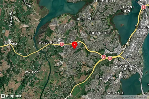
Bethlehem Satellite Map

Full Address
Bethlehem, Tauranga, Bay of PlentyBethlehem Coordinates
-37.698339,176.119258 (Latitude / Longitude)Bethlehem Map in NZ

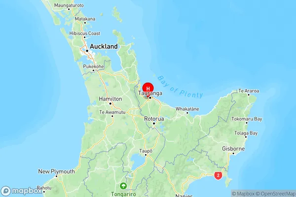
NZ Island
North IslandCountry
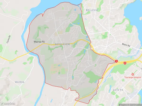
Bethlehem Area Map (Polygon)

Name
BethlehemAdditional Name
Ashmore Park, Avenues East, Avenues West, Belvedere, Bethlehem Heights, Cambridge Heights, La Cumbre, Sterling Gate, Te Reti, Wairoa PaLocal Authority
Tauranga City
Bethlehem Suburbs (Sort by Population)
Bethlehem also known as Ashmore Park, Avenues East, Avenues West, Belvedere, Bethlehem Heights, Cambridge Heights, La Cumbre, Sterling Gate, Te Reti, Wairoa Pa. Bethlehem suburb has around
12.2 square
kilometers.There are more than 9388 people (estimated)
live in Bethlehem, Tauranga, Bay of Plenty, New Zealand.