Bethlehem Area, Bethlehem Postcode(3110) & Map in Bethlehem
Bethlehem Area, Bethlehem Postcode(3110) & Map in Bethlehem, Tauranga City, New Zealand
Bethlehem, Tauranga City, New Zealand
Bethlehem Area (estimated)
12.2 square kilometersBethlehem Population (estimated)
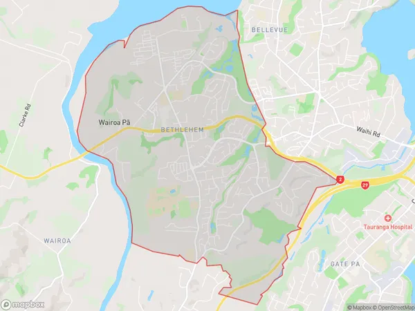
9388 people live in Bethlehem, Tauranga, NZBethlehem Suburb Area Map (Polygon)
Bethlehem Introduction
Bethlehem is a suburb of Tauranga, Bay of Plenty, New Zealand. It is known for its large Christmas population and has a variety of shops, restaurants, and recreational facilities. The suburb also has a strong community spirit and hosts many events throughout the year, including the Bethlehem Christmas Parade and the Bethlehem Summer Festival.Region
Major City
Suburb Name
BethlehemOther Name(s)
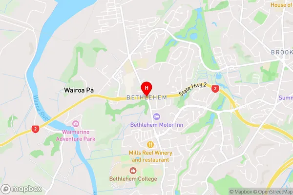
Ashmore Park, Avenues East, Avenues West, Belvedere, Bethlehem Heights, Cambridge Heights, La Cumbre, Sterling Gate, Te Reti, Wairoa PaBethlehem Area Map (Street)
Local Authority
Tauranga CityFull Address
Bethlehem, Tauranga City, New ZealandAddress Type
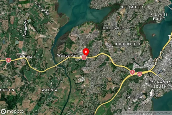
Suburb in City TaurangaBethlehem Suburb Map (Satellite)
Country
Main Region in AU
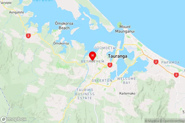
Bay of PlentyBethlehem Region Map
Coordinates
-37.6955031,176.1116681 (latitude/longitude)Distances
The distance from Bethlehem, Tauranga, Tauranga City to NZ Top 10 Cities