Whakarewarewa Suburbs & Region, Whakarewarewa Map & Postcodes in Whakarewarewa, Rotorua, Bay of Plenty
Whakarewarewa Postcodes, Whakarewarewa ZipCodes, Whakarewarewa , Whakarewarewa Bay of Plenty, Whakarewarewa Suburbs, Whakarewarewa Region, Whakarewarewa Map, Whakarewarewa Area
Whakarewarewa Region
Whakarewarewa Suburbs
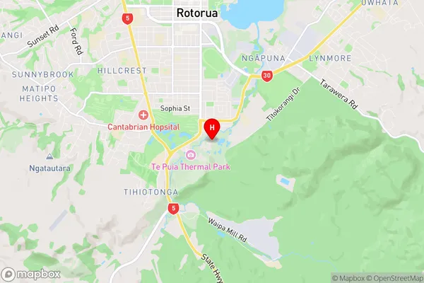
Whakarewarewa is a suburb place type in Rotorua, Bay of Plenty, NZ. It contains 0 suburbs or localities.Whakarewarewa Region Map

Whakarewarewa Introduction
Whakarewarewa, Bay of Plenty, NZ, is a geothermal area with hot springs, mud pools, and a geyser. It is a popular tourist destination and is known for its natural beauty and cultural significance. The area was settled by the Maori people thousands of years ago and has a rich history and culture. Visitors can explore the ruins of a Maori village, visit a museum, or take a hot spring bath. The area is also home to a variety of wildlife, including birds, reptiles, and mammals.Whakarewarewa Region
Whakarewarewa City
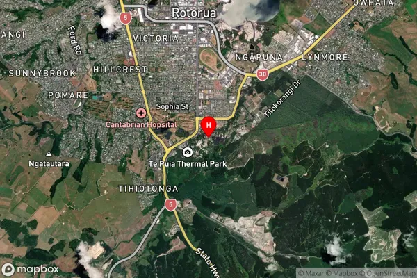
Whakarewarewa Satellite Map

Full Address
Whakarewarewa, Rotorua, Bay of PlentyWhakarewarewa Coordinates
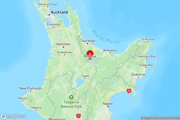
-38.162687,176.256574 (Latitude / Longitude)Whakarewarewa Map in NZ

NZ Island
North IslandCountry
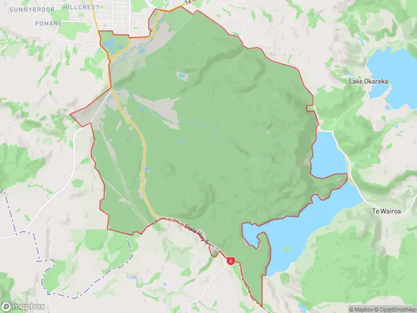
Whakarewarewa Area Map (Polygon)

Name
WhakarewarewaAdditional Name
Local Authority
Rotorua District
Whakarewarewa Suburbs (Sort by Population)
Whakarewarewa suburb has around
61.3 square
kilometers.There are more than 551 people (estimated)
live in Whakarewarewa, Rotorua, Bay of Plenty, New Zealand.