Whakarewarewa Area, Whakarewarewa Postcode(3010) & Map in Whakarewarewa
Whakarewarewa Area, Whakarewarewa Postcode(3010) & Map in Whakarewarewa, Rotorua District, New Zealand
Whakarewarewa, Rotorua District, New Zealand
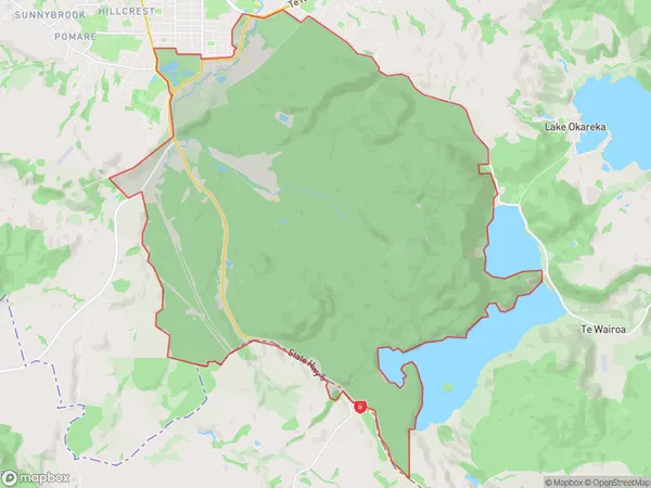
Whakarewarewa Area (estimated)
61.3 square kilometersWhakarewarewa Population (estimated)
551 people live in Whakarewarewa, Rotorua, NZWhakarewarewa Suburb Area Map (Polygon)

Whakarewarewa Introduction
Whakarewarewa, also known as the Thermal Valley, is a geothermal area in Rotorua, Bay of Plenty, New Zealand. It is home to the world's largest hot water springs, with a temperature of over 100 degrees Celsius. Visitors can enjoy soaking in the natural hot pools, walking through the steamy forests, and learning about the area's Maori culture and history.Region
Major City
Suburb Name
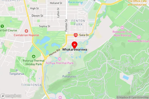
WhakarewarewaWhakarewarewa Area Map (Street)

Local Authority
Rotorua DistrictFull Address
Whakarewarewa, Rotorua District, New ZealandAddress Type
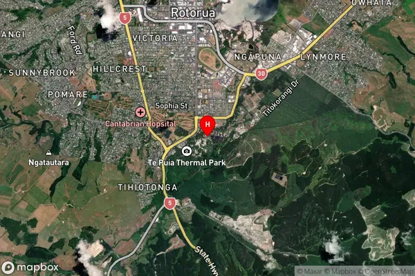
Suburb in City RotoruaWhakarewarewa Suburb Map (Satellite)

Country
Main Region in AU
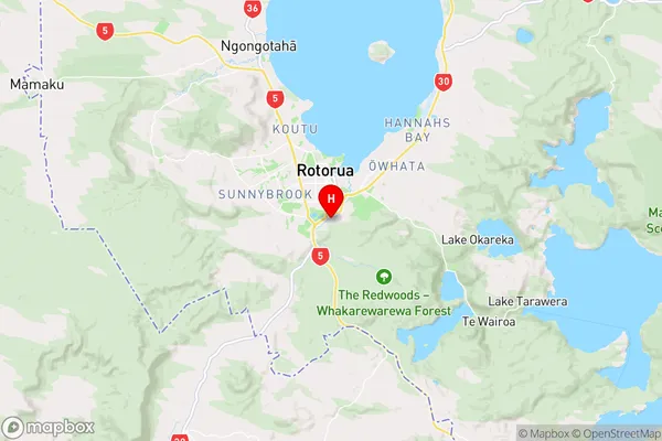
Bay of PlentyWhakarewarewa Region Map

Coordinates
-38.1626866,176.256574 (latitude/longitude)Distances
The distance from Whakarewarewa, Rotorua, Rotorua District to NZ Top 10 Cities