Springfield Suburbs & Region, Springfield Map & Postcodes in Springfield, Rotorua, Bay of Plenty
Springfield Postcodes, Springfield ZipCodes, Springfield , Springfield Bay of Plenty, Springfield Suburbs, Springfield Region, Springfield Map, Springfield Area
Springfield Region
Springfield Suburbs
Springfield is a suburb place type in Rotorua, Bay of Plenty, NZ. It contains 1 suburbs or localities.Springfield Postcodes
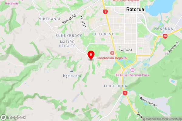
Springfield Region Map
Springfield Introduction
Springfield is a town in the Bay of Plenty region of New Zealand. It is situated on the southern side of the Bay of Plenty and is approximately 120 kilometers southeast of Tauranga. The town is known for its fertile farmland, which produces a variety of crops, including wheat, maize, and dairy products. Springfield also has a number of historic buildings, including the Old Government Building, which is now a museum. The town has a population of around 10,000 people and is a popular tourist destination.Springfield Region
Springfield City
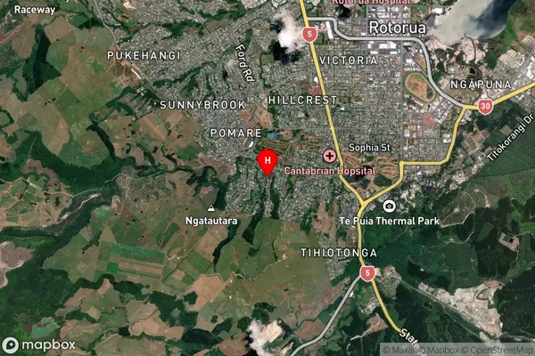
Springfield Satellite Map
Full Address
Springfield, Rotorua, Bay of PlentySpringfield Coordinates
-38.160993,176.22797 (Latitude / Longitude)Springfield Map in NZ
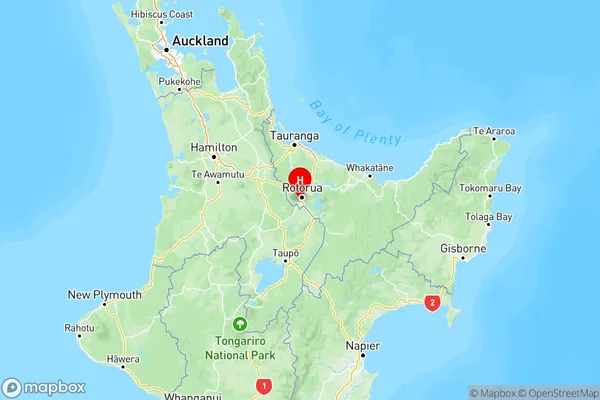
NZ Island
North IslandCountry
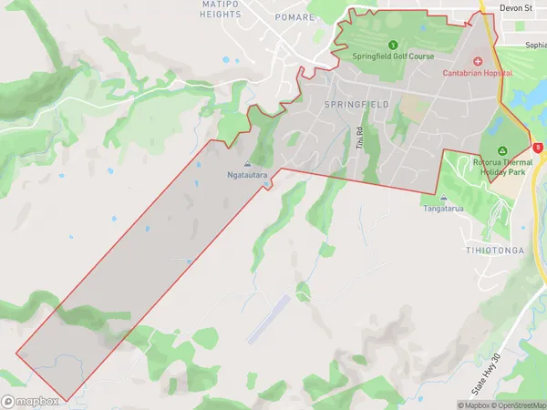
Springfield Area Map (Polygon)
Name
SpringfieldAdditional Name
Local Authority
Rotorua District
Springfield Suburbs (Sort by Population)
Springfield
Springfield - 619