Springfield Area, Springfield Postcode(7649) & Map in Springfield
Springfield Area, Springfield Postcode(7649) & Map in Springfield, Selwyn District, New Zealand
Springfield, Selwyn District, New Zealand
Springfield Area (estimated)
350.9 square kilometersSpringfield Population (estimated)
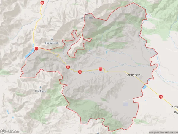
619 people live in Springfield, Canterbury, NZSpringfield Suburb Area Map (Polygon)
Springfield Introduction
Springfield is a suburb of Christchurch, New Zealand, located in the eastern suburbs of the city. It is known for its large population of Pacific Islanders and has a variety of shops, restaurants, and recreational facilities. The suburb also has a strong sense of community and is home to a number of cultural events and festivals.Region
0Suburb Name
SpringfieldOther Name(s)
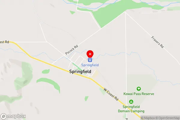
Coleridge, Kowai Bush, Malvern Hills, OtaramaSpringfield Area Map (Street)
Local Authority
Selwyn DistrictFull Address
Springfield, Selwyn District, New ZealandAddress Type
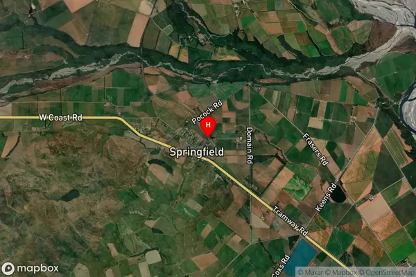
Locality in Major Locality SpringfieldSpringfield Suburb Map (Satellite)
Country
Main Region in AU
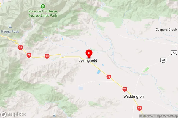
CanterburySpringfield Region Map
Coordinates
-43.3342078,171.9306045 (latitude/longitude)Distances
The distance from Springfield, Springfield, Selwyn District to NZ Top 10 Cities