Rotoiti Forest Suburbs & Region, Rotoiti Forest Map & Postcodes in Rotoiti Forest, Rotorua, Bay of Plenty
Rotoiti Forest Postcodes, Rotoiti Forest ZipCodes, Rotoiti Forest , Rotoiti Forest Bay of Plenty, Rotoiti Forest Suburbs, Rotoiti Forest Region, Rotoiti Forest Map, Rotoiti Forest Area
Rotoiti Forest Region (Gisborne Point, Hinehopu, Rotoehu, Rotoiti, Te Haehaenga Region)
Rotoiti Forest Suburbs
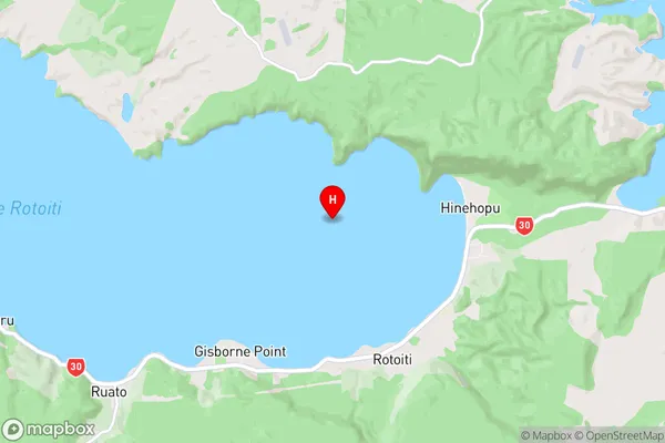
Rotoiti Forest is a suburb place type in Rotorua, Bay of Plenty, NZ. It contains 0 suburbs or localities.Rotoiti Forest Region Map
Rotoiti Forest Introduction
Rotoiti Forest is a forest located in the Bay of Plenty region of New Zealand. It is known for its stunning natural beauty, including waterfalls, rainforests, and a variety of plant and animal species. The forest is a popular destination for hiking, camping, and nature photography, and is home to the Rotoiti Island Resort, which offers a range of accommodation options and recreational activities.Rotoiti Forest Region
Rotoiti Forest City
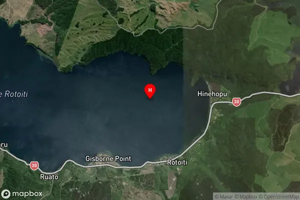
Rotoiti Forest Satellite Map
Full Address
Rotoiti Forest, Rotorua, Bay of PlentyRotoiti Forest Coordinates
-38.037436,176.466791 (Latitude / Longitude)Rotoiti Forest Map in NZ
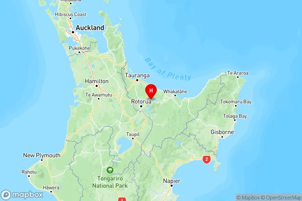
NZ Island
North IslandCountry
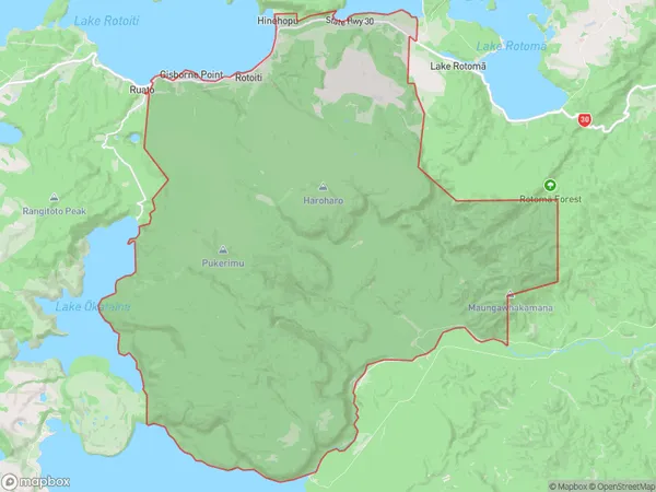
Rotoiti Forest Area Map (Polygon)
Name
Rotoiti ForestAdditional Name
Gisborne Point, Hinehopu, Rotoehu, Rotoiti, Te HaehaengaLocal Authority
Rotorua District
Rotoiti Forest Suburbs (Sort by Population)
Rotoiti Forest also known as Gisborne Point, Hinehopu, Rotoehu, Rotoiti, Te Haehaenga. Rotoiti Forest suburb has around
199.5 square
kilometers.There are more than 470 people (estimated)
live in Rotoiti Forest, Rotorua, Bay of Plenty, New Zealand.