Pukehangi Suburbs & Region, Pukehangi Map & Postcodes in Pukehangi, Rotorua, Bay of Plenty
Pukehangi Postcodes, Pukehangi ZipCodes, Pukehangi , Pukehangi Bay of Plenty, Pukehangi Suburbs, Pukehangi Region, Pukehangi Map, Pukehangi Area
Pukehangi Region
Pukehangi Suburbs
Pukehangi is a suburb place type in Rotorua, Bay of Plenty, NZ. It contains 0 suburbs or localities.Pukehangi Postcodes
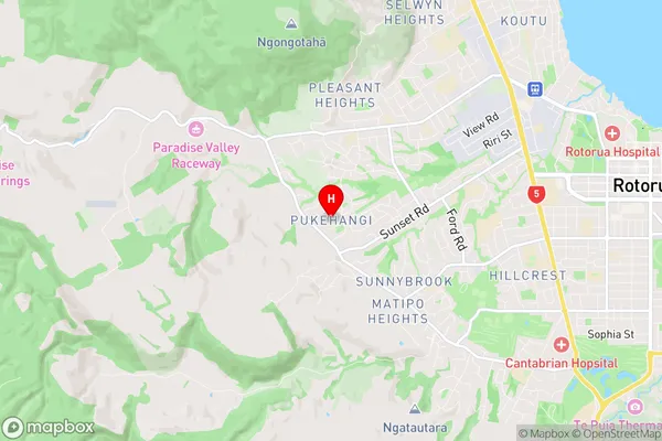
Pukehangi Region Map
Pukehangi Introduction
Pukehangi is a small rural community in the Bay of Plenty, New Zealand. It is located on the eastern coast of the Bay of Plenty, about 12 kilometers south of Whakatane. The community is known for its scenic surroundings, including the Pukehangi Forest and the Pukehangi River. The population of Pukehangi is around 100 people, and the community has a primary school, a post office, and a small supermarket. The area is popular with outdoor enthusiasts, with many hiking and biking trails nearby. The community also has a strong cultural heritage, with many of its residents being of Māori descent.Pukehangi Region
Pukehangi City
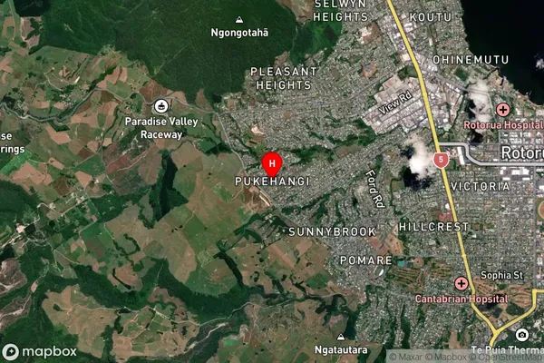
Pukehangi Satellite Map
Full Address
Pukehangi, Rotorua, Bay of PlentyPukehangi Coordinates
-38.142437,176.204096 (Latitude / Longitude)Pukehangi Map in NZ
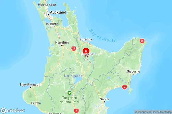
NZ Island
North IslandCountry
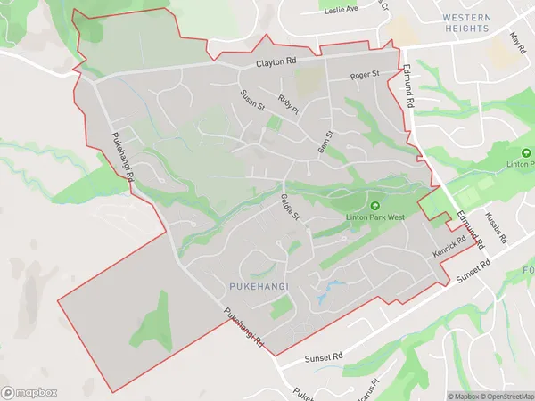
Pukehangi Area Map (Polygon)
Name
PukehangiAdditional Name
Local Authority
Rotorua District
Pukehangi Suburbs (Sort by Population)
Pukehangi suburb has around
3.4 square
kilometers.There are more than 5267 people (estimated)
live in Pukehangi, Rotorua, Bay of Plenty, New Zealand.