Pukehangi Area, Pukehangi Postcode(3015) & Map in Pukehangi
Pukehangi Area, Pukehangi Postcode(3015) & Map in Pukehangi, Rotorua District, New Zealand
Pukehangi, Rotorua District, New Zealand
Pukehangi Postcodes
Pukehangi Area (estimated)
3.4 square kilometersPukehangi Population (estimated)
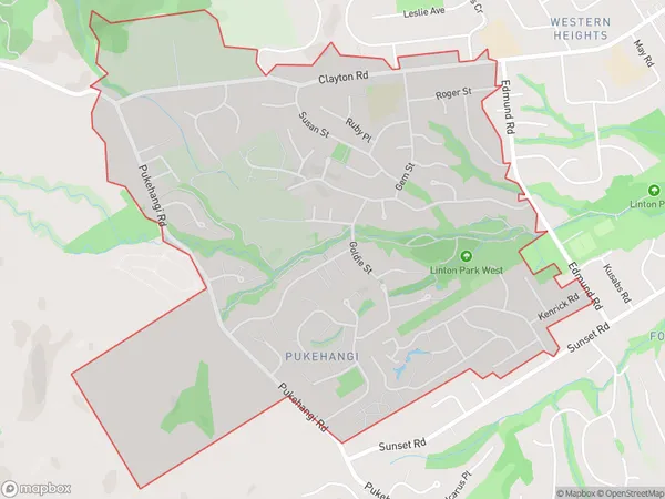
5267 people live in Pukehangi, Rotorua, NZPukehangi Suburb Area Map (Polygon)
Pukehangi Introduction
Pukehangi is a Māori village in Rotorua, Bay of Plenty, New Zealand. It is known for its geysers, including the famous "Yellowstone Geyser," which is one of the largest and most active geysers in the world. The village also offers cultural experiences, such as traditional Māori performances and tours of the geothermal areas.Region
Major City
Suburb Name
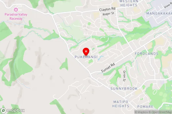
PukehangiPukehangi Area Map (Street)
Local Authority
Rotorua DistrictFull Address
Pukehangi, Rotorua District, New ZealandAddress Type
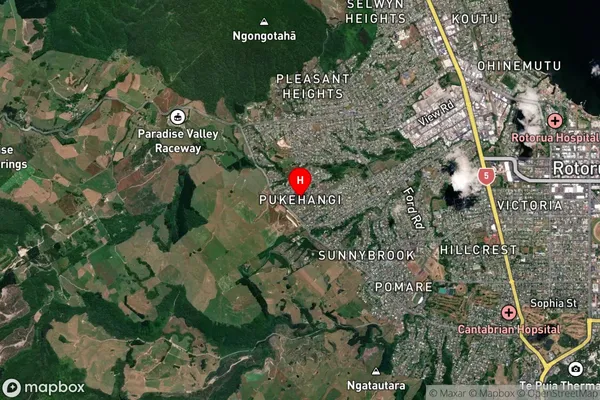
Suburb in City RotoruaPukehangi Suburb Map (Satellite)
Country
Main Region in AU
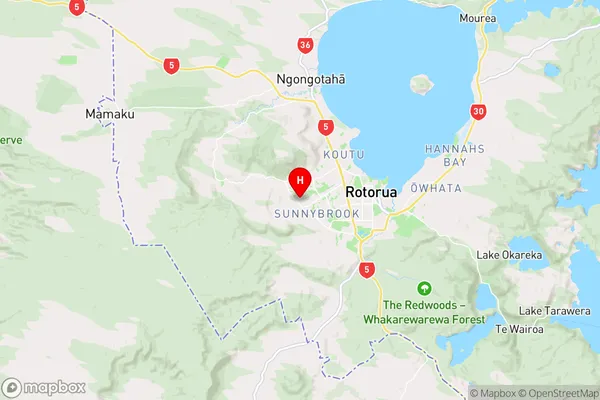
Bay of PlentyPukehangi Region Map
Coordinates
-38.1424369,176.2040961 (latitude/longitude)Distances
The distance from Pukehangi, Rotorua, Rotorua District to NZ Top 10 Cities