Ngongotaha Suburbs & Region, Ngongotaha Map & Postcodes in Ngongotaha, Rotorua, Bay of Plenty
Ngongotaha Postcodes, Ngongotaha ZipCodes, Ngongotaha , Ngongotaha Bay of Plenty, Ngongotaha Suburbs, Ngongotaha Region, Ngongotaha Map, Ngongotaha Area
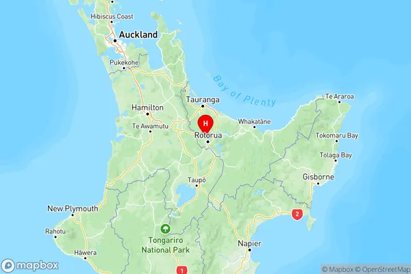
Ngongotaha Region (Awahou, Waikuta Region)
Ngongotaha Suburbs
Ngongotaha is a suburb place type in Rotorua, Bay of Plenty, NZ. It contains 0 suburbs or localities.Ngongotaha Region Map

Ngongotaha Introduction
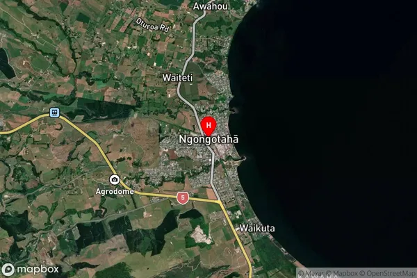
Ngongotaha is a small town on the eastern coast of the Bay of Plenty in New Zealand. It is known for its beautiful beaches, native forests, and stunning mountain views. The town has a population of around 1,000 people and is situated on the banks of the Ngongotaha River. It is a popular destination for tourists and outdoor enthusiasts, with many activities to enjoy, including hiking, fishing, kayaking, and surfing. The town also has a historic stone church and a museum that showcases the area's cultural heritage.Ngongotaha Region
Ngongotaha City
Ngongotaha Satellite Map
Full Address
Ngongotaha, Rotorua, Bay of PlentyNgongotaha Coordinates
-38.077109,176.211437 (Latitude / Longitude)Ngongotaha Map in NZ
NZ Island
North IslandCountry
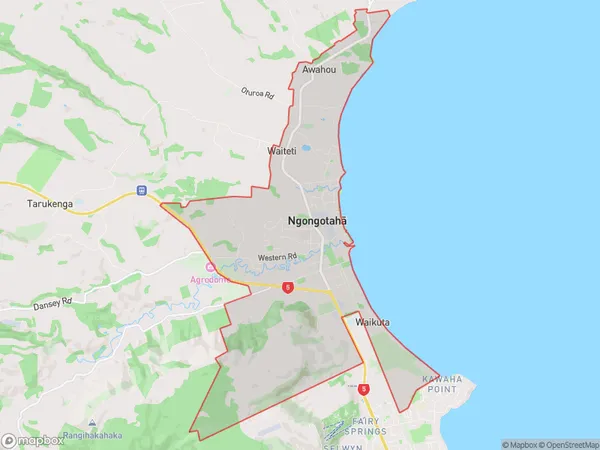
Ngongotaha Area Map (Polygon)
Name
NgongotahaAdditional Name
Awahou, WaikutaLocal Authority
Rotorua District
Ngongotaha Suburbs (Sort by Population)
Ngongotaha also known as Awahou, Waikuta. Ngongotaha suburb has around
18.5 square
kilometers.There are more than 5159 people (estimated)
live in Ngongotaha, Rotorua, Bay of Plenty, New Zealand.