Ngongotaha Area, Ngongotaha Postcode(3010) & Map in Ngongotaha
Ngongotaha Area, Ngongotaha Postcode(3010) & Map in Ngongotaha, Rotorua District, New Zealand
Ngongotaha, Rotorua District, New Zealand
Ngongotaha Area (estimated)
18.5 square kilometersNgongotaha Population (estimated)
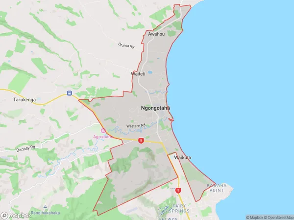
5159 people live in Ngongotaha, Bay of Plenty, NZNgongotaha Suburb Area Map (Polygon)
Ngongotaha Introduction
Ngongotaha is a small town on the banks of the Ngongotaha River in the Bay of Plenty region of New Zealand. It is known for its hot springs, native forests, and traditional Māori culture. The town has a population of around 500 people and is a popular tourist destination. Ngongotaha is also home to the Ngongotaha Steam Reserve, a geothermal park that features a variety of hot pools and geysers.Region
Major City
Suburb Name
Ngongotaha (Maori Name: Ngongotahā)Other Name(s)
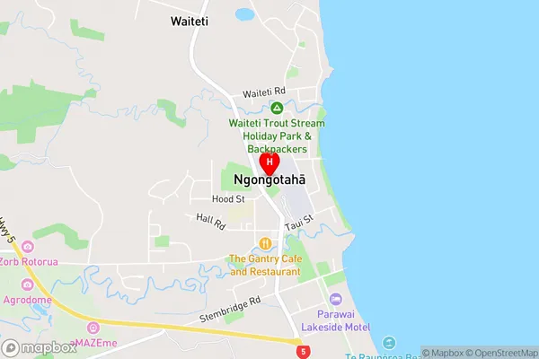
Awahou, WaikutaNgongotaha Area Map (Street)
Local Authority
Rotorua DistrictFull Address
Ngongotaha, Rotorua District, New ZealandAddress Type
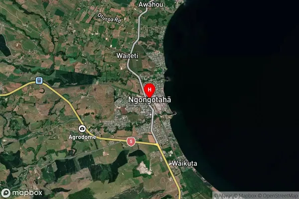
Suburb in City RotoruaNgongotaha Suburb Map (Satellite)
Country
Main Region in AU
Bay of PlentyNgongotaha Region Map
Not available for nowCoordinates
-38.0771094,176.2114373 (latitude/longitude)Distances
The distance from Ngongotaha, Rotorua, Rotorua District to NZ Top 10 Cities