Mangakakahi Suburbs & Region, Mangakakahi Map & Postcodes in Mangakakahi, Rotorua, Bay of Plenty
Mangakakahi Postcodes, Mangakakahi ZipCodes, Mangakakahi , Mangakakahi Bay of Plenty, Mangakakahi Suburbs, Mangakakahi Region, Mangakakahi Map, Mangakakahi Area
Mangakakahi Region
Mangakakahi Suburbs
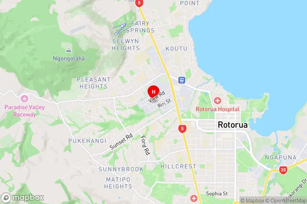
Mangakakahi is a suburb place type in Rotorua, Bay of Plenty, NZ. It contains 0 suburbs or localities.Mangakakahi Region Map
Mangakakahi Introduction
Mangakakahi is a small coastal settlement in the Bay of Plenty, New Zealand. It is located on the eastern coast of the Bay of Plenty, about 20 kilometers south of Tauranga. The settlement is known for its beautiful beaches, clear waters, and stunning coastal scenery. It is a popular destination for tourists and locals alike, with many opportunities for fishing, swimming, and hiking. The area has a rich cultural heritage, with several historic sites and museums nearby. Mangakakahi is also home to a large community of Maori, who have a strong presence in the area. The settlement has a primary school, a post office, a supermarket, and a few small businesses.Mangakakahi Region
Mangakakahi City
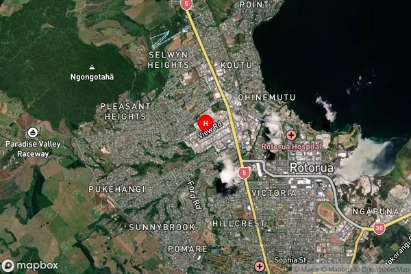
Mangakakahi Satellite Map
Full Address
Mangakakahi, Rotorua, Bay of PlentyMangakakahi Coordinates
-38.132123,176.226388 (Latitude / Longitude)Mangakakahi Map in NZ
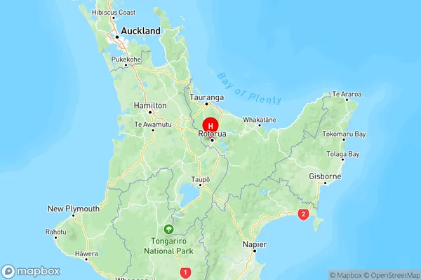
NZ Island
North IslandCountry
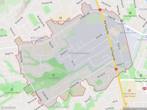
Mangakakahi Area Map (Polygon)
Name
MangakakahiAdditional Name
Local Authority
Rotorua District
Mangakakahi Suburbs (Sort by Population)
Mangakakahi suburb has around
3.4 square
kilometers.There are more than 3717 people (estimated)
live in Mangakakahi, Rotorua, Bay of Plenty, New Zealand.