Mangakakahi Area, Mangakakahi Postcode(3015) & Map in Mangakakahi
Mangakakahi Area, Mangakakahi Postcode(3015) & Map in Mangakakahi, Rotorua District, New Zealand
Mangakakahi, Rotorua District, New Zealand
Mangakakahi Area (estimated)
3.4 square kilometersMangakakahi Population (estimated)
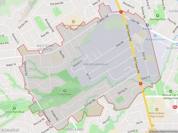
3717 people live in Mangakakahi, Rotorua, NZMangakakahi Suburb Area Map (Polygon)
Mangakakahi Introduction
Mangakakahi is a small rural community located in the Bay of Plenty region of New Zealand. It is known for its stunning natural surroundings, including hot springs, waterfalls, and native forests. The community has a strong Maori cultural heritage and is home to a number of historic sites. Visitors can explore the local walking tracks, visit the Mangakakahi Hot Springs, or take a guided tour of the nearby Te Puia Springs and Whakarewarewa Forest.Region
Major City
Suburb Name
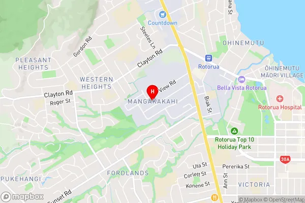
MangakakahiMangakakahi Area Map (Street)
Local Authority
Rotorua DistrictFull Address
Mangakakahi, Rotorua District, New ZealandAddress Type
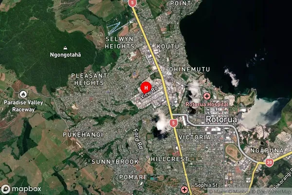
Suburb in City RotoruaMangakakahi Suburb Map (Satellite)
Country
Main Region in AU
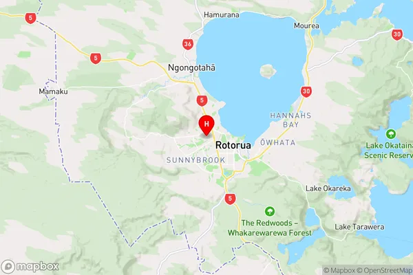
Bay of PlentyMangakakahi Region Map
Coordinates
-38.1321232,176.2263884 (latitude/longitude)Distances
The distance from Mangakakahi, Rotorua, Rotorua District to NZ Top 10 Cities