Fordlands Suburbs & Region, Fordlands Map & Postcodes in Fordlands, Rotorua, Bay of Plenty
Fordlands Postcodes, Fordlands ZipCodes, Fordlands , Fordlands Bay of Plenty, Fordlands Suburbs, Fordlands Region, Fordlands Map, Fordlands Area
Fordlands Region
Fordlands Suburbs
Fordlands is a suburb place type in Rotorua, Bay of Plenty, NZ. It contains 0 suburbs or localities.Fordlands Postcodes
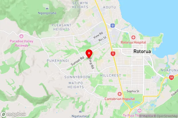
Fordlands Region Map
Fordlands Introduction
Fordlands is a small rural community located in the Bay of Plenty region of New Zealand. It is situated approximately 20 kilometers south of Tauranga and 120 kilometers north of Auckland. The area is known for its scenic countryside, fertile farmland, and historic buildings. Fordlands has a population of around 200 people and is home to a variety of businesses, including a dairy farm, a hardware store, and a convenience store. The community also has a primary school and a church. The area is surrounded by beautiful natural scenery, including the Mount Maunganui and the Bay of Plenty coastline. Visitors can enjoy hiking, fishing, and kayaking in the nearby parks and reserves.Fordlands Region
Fordlands City
Fordlands Satellite Map

Full Address
Fordlands, Rotorua, Bay of PlentyFordlands Coordinates
-38.14165,176.222205 (Latitude / Longitude)Fordlands Map in NZ
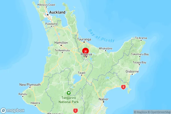
NZ Island
North IslandCountry
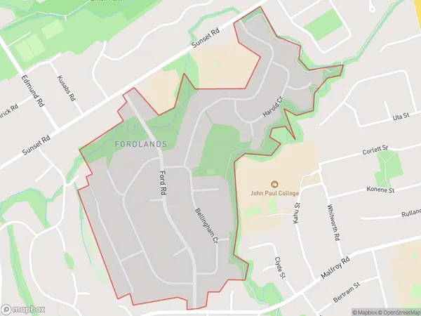
Fordlands Area Map (Polygon)
Name
FordlandsAdditional Name
Local Authority
Rotorua District
Fordlands Suburbs (Sort by Population)
Fordlands suburb has around
0.7 square
kilometers.There are more than 1894 people (estimated)
live in Fordlands, Rotorua, Bay of Plenty, New Zealand.