Fordlands Area, Fordlands Postcode(3015) & Map in Fordlands
Fordlands Area, Fordlands Postcode(3015) & Map in Fordlands, Rotorua District, New Zealand
Fordlands, Rotorua District, New Zealand
Fordlands Postcodes
Fordlands Area (estimated)
0.7 square kilometersFordlands Population (estimated)
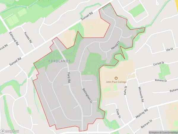
1894 people live in Fordlands, Rotorua, NZFordlands Suburb Area Map (Polygon)
Fordlands Introduction
Fordlands is a historic area in Rotorua, Bay of Plenty, New Zealand. It was once a thriving hub for the Ford Motor Company, with a large factory and workers' housing. The area is now home to a variety of heritage buildings, including the Fordlandia Museum, which showcases the history of the Ford Motor Company and its impact on New Zealand.Region
Major City
Suburb Name
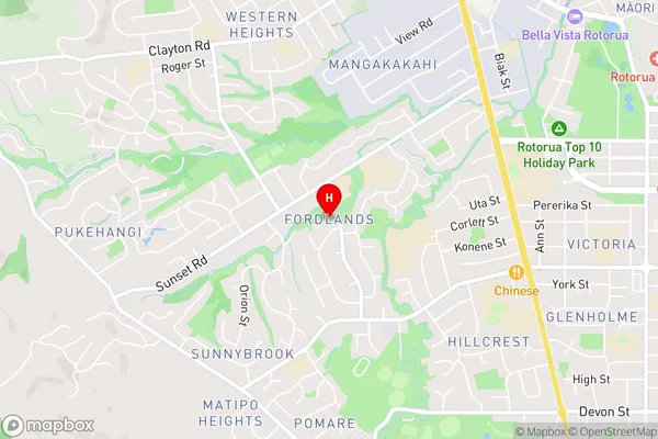
FordlandsFordlands Area Map (Street)
Local Authority
Rotorua DistrictFull Address
Fordlands, Rotorua District, New ZealandAddress Type
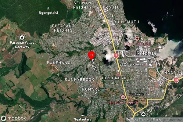
Suburb in City RotoruaFordlands Suburb Map (Satellite)
Country
Main Region in AU
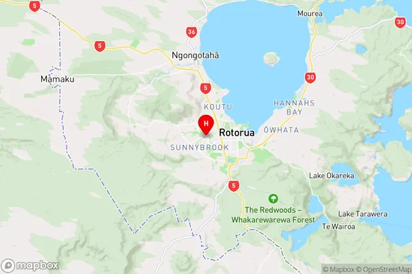
Bay of PlentyFordlands Region Map
Coordinates
-38.1416499,176.2222053 (latitude/longitude)Distances
The distance from Fordlands, Rotorua, Rotorua District to NZ Top 10 Cities