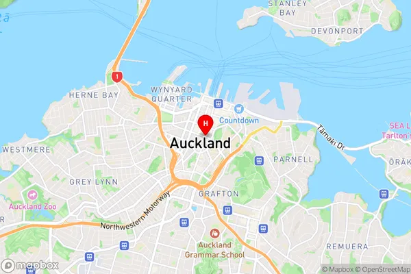
Whenuapai Suburbs & Region, Whenuapai Map & Postcodes in Whenuapai, Waitakere, Auckland, North Island, New Zealand
Whenuapai Postcodes, Whenuapai ZipCodes, Whenuapai , Whenuapai Auckland, Whenuapai Suburbs, Whenuapai Region, Whenuapai Map, Whenuapai Area
Whenuapai Region
Whenuapai Suburbs
Whenuapai is a suburb place type in Waitakere, Auckland, North Island, New Zealand, NZ. It contains 0 suburbs or localities.Whenuapai district
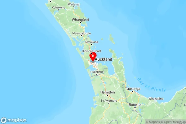
WaitakereWhenuapai Region Map

Whenuapai Introduction
Whenuapai is a suburb of Auckland, New Zealand. It is located in the North Shore City district and is part of the Auckland metropolitan area. Whenuapai is known for its beautiful beaches, including Whenuapai Beach and Long Bay Beach. The suburb also has a large population of Maori, and there are several cultural landmarks and attractions in the area, including the Whenuapai Airbase and the Whenuapai Museum.Whenuapai Region
Whenuapai City
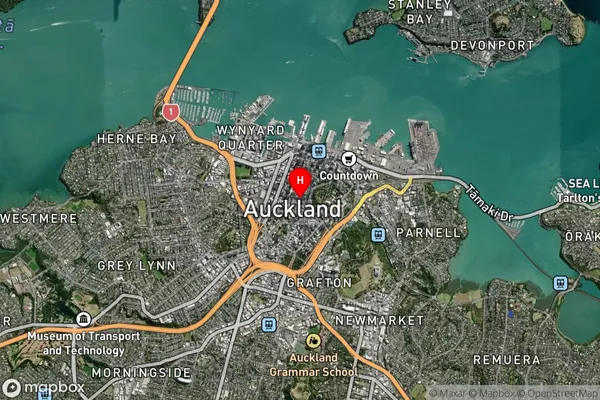
Whenuapai Satellite Map

Full Address
Whenuapai, Waitakere, Auckland, North Island, New ZealandWhenuapai Coordinates
-36.8508827,174.7644881 (Latitude / Longitude)Whenuapai Map in NZ

NZ Island
North IslandCountry
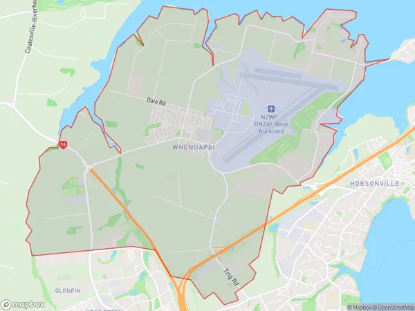
Whenuapai Area Map (Polygon)

Name
WhenuapaiAdditional Name
Local Authority
Auckland
Whenuapai Suburbs (Sort by Population)
Whenuapai suburb has around
18.6 square
kilometers.There are more than 3823 people (estimated)
live in Whenuapai, Upper Harbour, Auckland, New Zealand.