Whenuapai Area, Whenuapai Postcode(0814) & Map in Whenuapai
Whenuapai Area, Whenuapai Postcode(0814) & Map in Whenuapai, Auckland, New Zealand
Whenuapai, Auckland, New Zealand
Whenuapai Area (estimated)
18.6 square kilometersWhenuapai Population (estimated)
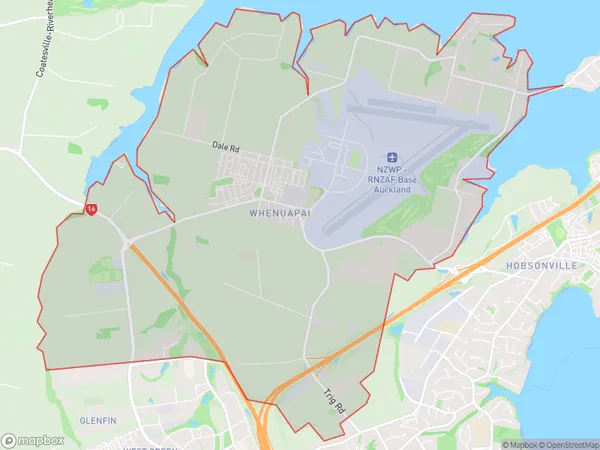
3823 people live in Whenuapai, Upper Harbour, NZWhenuapai Suburb Area Map (Polygon)
Whenuapai Introduction
Whenuapai is a suburb of Auckland, New Zealand. It is located in the North Shore City Council area and is known for its beautiful beaches, lush parks, and peaceful atmosphere. The suburb has a population of around 10,000 people and is located approximately 20 kilometers from the Auckland city center. Whenuapai is a popular destination for tourists and locals alike, with many attractions and activities to enjoy. The area is home to several popular beaches, including Whenuapai Beach, Long Bay Beach, and St Heliers Bay Beach.Region
Major City
Suburb Name
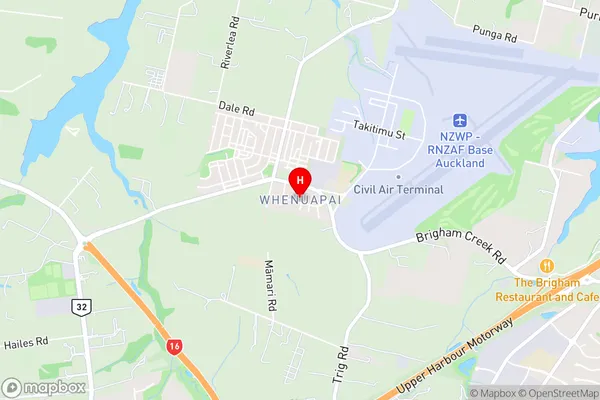
WhenuapaiWhenuapai Area Map (Street)
Local Authority
AucklandFull Address
Whenuapai, Auckland, New ZealandAddress Type
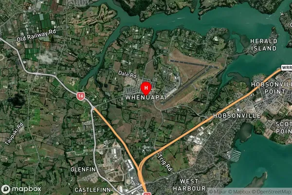
Suburb in City AucklandWhenuapai Suburb Map (Satellite)
Country
Main Region in AU
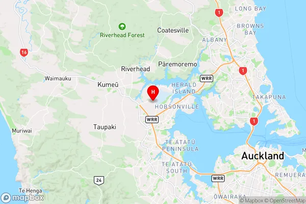
AucklandWhenuapai Region Map
Coordinates
-36.794101,174.6153747 (latitude/longitude)Distances
The distance from Whenuapai, Auckland, Auckland to NZ Top 10 Cities