Westgate Suburbs & Region, Westgate Map & Postcodes in Westgate, Waitakere, Auckland, North Island, New Zealand
Westgate Postcodes, Westgate ZipCodes, Westgate , Westgate Auckland, Westgate Suburbs, Westgate Region, Westgate Map, Westgate Area
Westgate Region (Massey North Region)
Westgate Suburbs
Westgate is a suburb place type in Waitakere, Auckland, North Island, New Zealand, NZ. It contains 0 suburbs or localities.Westgate Postcodes
Westgate district
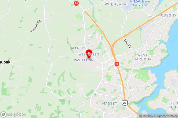
WaitakereWestgate Region Map

Westgate Introduction
Westgate is a suburb of Auckland, New Zealand, located in the western part of the city. It is known for its shopping center, which includes Westfield Westgate, one of the largest shopping malls in New Zealand. The suburb also has a variety of parks, including Westgate Park and Westgate Forest Park, as well as several schools and recreational facilities. Westgate is a popular residential area due to its convenient location, good transport links, and variety of amenities.Westgate Region
Westgate City
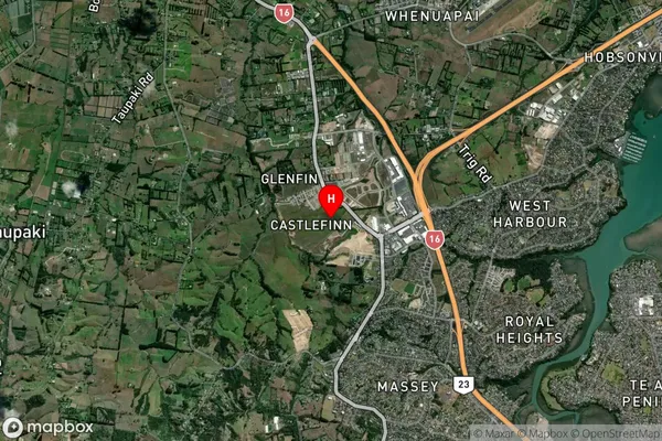
Westgate Satellite Map

Full Address
Westgate, Waitakere, Auckland, North Island, New ZealandWestgate Coordinates
-36.819566,174.599655 (Latitude / Longitude)Westgate Map in NZ

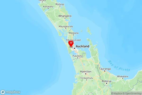
NZ Island
North IslandCountry
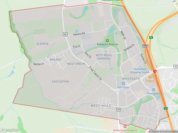
Westgate Area Map (Polygon)

Name
WestgateAdditional Name
Massey NorthLocal Authority
Auckland
Westgate Suburbs (Sort by Population)
Westgate also known as Massey North. Westgate suburb has around
5.0 square
kilometers.There are more than 1924 people (estimated)
live in Westgate, Henderson-Massey, Auckland, New Zealand.