Westgate Area, Westgate Postcode(0814) & Map in Westgate
Westgate Area, Westgate Postcode(0814) & Map in Westgate, Auckland, New Zealand
Westgate, Auckland, New Zealand
Westgate Postcodes
Westgate Area (estimated)
5.0 square kilometersWestgate Population (estimated)
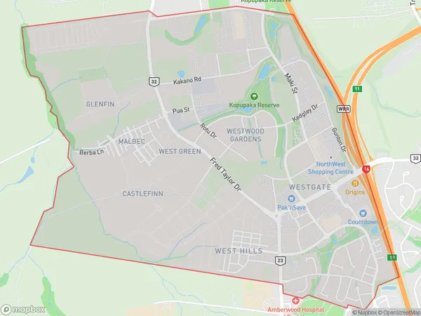
1924 people live in Westgate, Henderson-Massey, NZWestgate Suburb Area Map (Polygon)
Westgate Introduction
Westgate is a suburb of Auckland, New Zealand, located in the western part of the city. It is known for its shopping center, which includes Westfield Westgate, the largest shopping mall in New Zealand. The suburb also has a variety of other shops, restaurants, and recreational facilities, including a cinema and a golf course. Westgate is well-connected to other parts of Auckland via public transportation, and it is a popular residential area for families and professionals.Region
Major City
Suburb Name
WestgateOther Name(s)
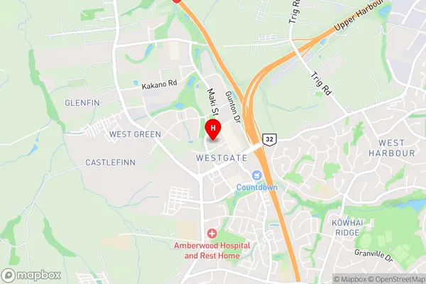
Massey NorthWestgate Area Map (Street)
Local Authority
AucklandFull Address
Westgate, Auckland, New ZealandAddress Type
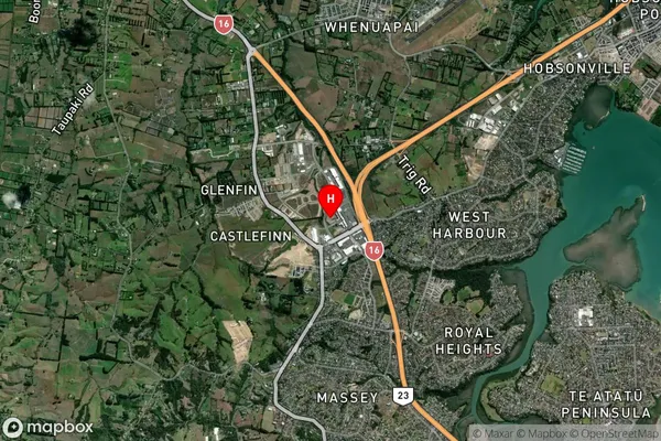
Suburb in City AucklandWestgate Suburb Map (Satellite)
Country
Main Region in AU
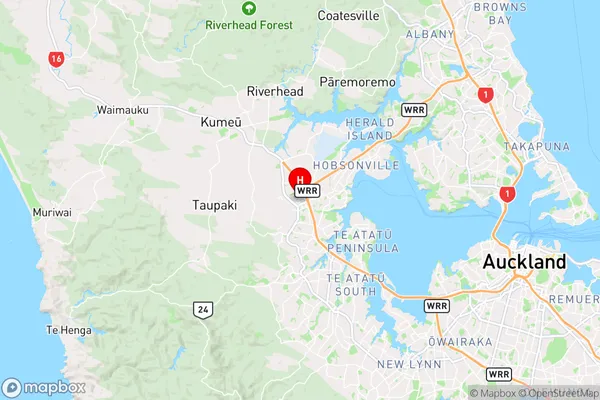
AucklandWestgate Region Map
Coordinates
-36.8181783,174.608984 (latitude/longitude)Distances
The distance from Westgate, Auckland, Auckland to NZ Top 10 Cities