Te Atatu South Suburbs & Region, Te Atatu South Map & Postcodes in Te Atatu South, Waitakere City, Auckland
Te Atatu South Postcodes, Te Atatu South ZipCodes, Te Atatu South , Te Atatu South Auckland, Te Atatu South Suburbs, Te Atatu South Region, Te Atatu South Map, Te Atatu South Area
Te Atatu South Region (Te Atatu Region)
Te Atatu South Suburbs
Te Atatu South is a suburb place type in Waitakere City, Auckland, NZ. It contains 0 suburbs or localities.Te Atatu South district
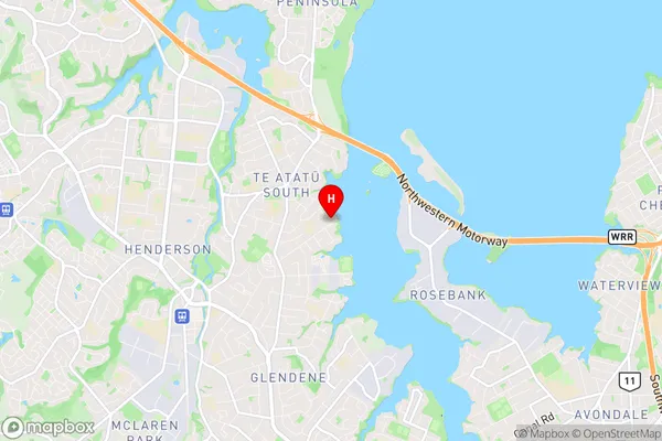
WaitakereTe Atatu South Region Map

Te Atatu South Introduction
Te Atatu South is a suburb of Auckland, New Zealand, located in the southwestern part of the city. It is known for its diverse population and vibrant community. The suburb has a mix of residential areas, commercial spaces, and recreational facilities, including parks, schools, and libraries. Te Atatu South is also home to several major transport routes, making it easily accessible for people who work in the city or travel elsewhere. The suburb has a strong sense of community spirit and is home to many cultural and ethnic groups, including Pacific Islanders, Europeans, and Asians.Te Atatu South Region
Te Atatu South City
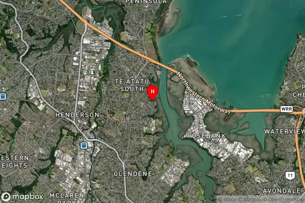
Te Atatu South Satellite Map

Full Address
Te Atatu South, Waitakere City, AucklandTe Atatu South Coordinates
-36.869331,174.654102 (Latitude / Longitude)Te Atatu South Map in NZ

NZ Island
North IslandCountry
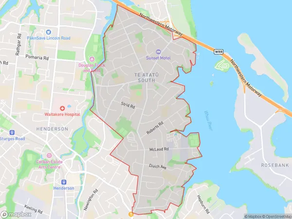
Te Atatu South Area Map (Polygon)

Name
Te Atatu SouthAdditional Name
Te AtatuLocal Authority
Auckland
Te Atatu South Suburbs (Sort by Population)
Te Atatu South also known as Te Atatu. Te Atatu South suburb has around
5.3 square
kilometers.There are more than 16103 people (estimated)
live in Te Atatu South, Henderson-Massey, Auckland, New Zealand.