Te Atatu South Area, Te Atatu South Postcode(0610) & Map in Te Atatu South
Te Atatu South Area, Te Atatu South Postcode(0610) & Map in Te Atatu South, Auckland, New Zealand
Te Atatu South, Auckland, New Zealand
Te Atatu South Area (estimated)
5.3 square kilometersTe Atatu South Population (estimated)
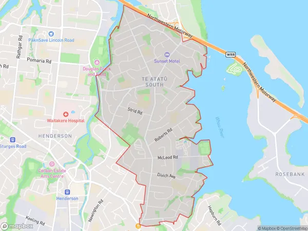
16103 people live in Te Atatu South, Henderson-Massey, NZTe Atatu South Suburb Area Map (Polygon)
Te Atatu South Introduction
Te Atatu South is a suburb of Auckland, New Zealand, located in the southern part of the city. It is known for its diverse population and vibrant community, with a mix of residential areas, commercial spaces, and recreational facilities. The suburb has a strong sense of community spirit and is home to many cultural and ethnic groups. It is also well-connected to other parts of Auckland via public transportation, making it an convenient place to live and work.Region
Major City
Suburb Name
Te Atatu South (Maori Name: Te Atatū South)Other Name(s)
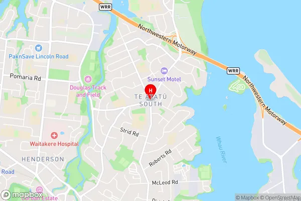
Te AtatuTe Atatu South Area Map (Street)
Local Authority
AucklandFull Address
Te Atatu South, Auckland, New ZealandAddress Type
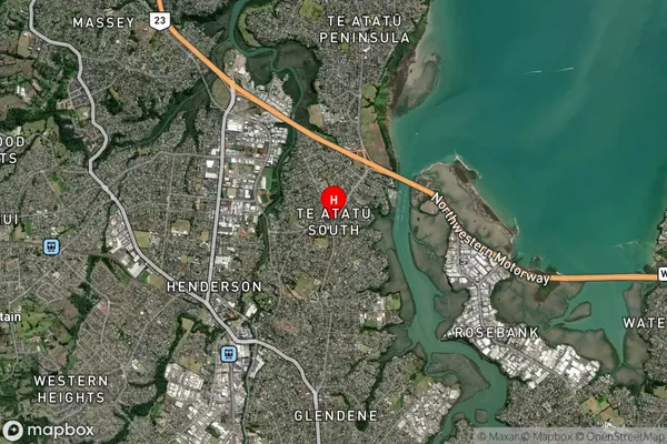
Suburb in City AucklandTe Atatu South Suburb Map (Satellite)
Country
Main Region in AU
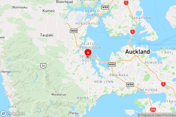
AucklandTe Atatu South Region Map
Coordinates
-36.8649385,174.6471226 (latitude/longitude)Distances
The distance from Te Atatu South, Auckland, Auckland to NZ Top 10 Cities