Mangamuka Suburbs & Region, Mangamuka Map & Postcodes in Mangamuka, Far North, Northland
Mangamuka Postcodes, Mangamuka ZipCodes, Mangamuka , Mangamuka Northland, Mangamuka Suburbs, Mangamuka Region, Mangamuka Map, Mangamuka Area
Mangamuka Region (Mangataipa, Mohuiti, Omahuta, Orawau, Tutekehua Region)
Mangamuka Suburbs
Mangamuka is a suburb place type in Far North, Northland, NZ. It contains 0 suburbs or localities.Mangamuka district
Far NorthMangamuka Region Map
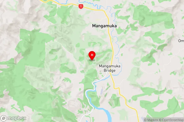
Mangamuka Introduction
Mangamuka is a small town in Northland, New Zealand, located on the southern side of the Kaipara Harbour. It is known for its stunning natural beauty, including the Mangamuka Gorge, a deep canyon with vertical cliffs and turquoise waters. The town is also home to the famous "Big Hole," a limestone cave that is one of the largest in the world. Mangamuka is a popular tourist destination and is known for its outdoor activities, including hiking, fishing, and kayaking. The town has a population of around 1,000 people and is surrounded by lush farmland and native forests.Mangamuka Region
Mangamuka City
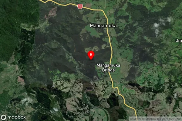
Mangamuka Satellite Map
Full Address
Mangamuka, Far North, NorthlandMangamuka Coordinates
-35.233161,173.533943 (Latitude / Longitude)Mangamuka Map in NZ
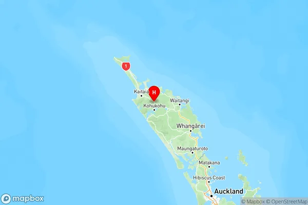
NZ Island
North IslandCountry
Mangamuka Area Map (Polygon)
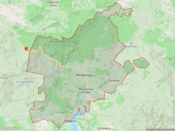
Name
MangamukaAdditional Name
Mangataipa, Mohuiti, Omahuta, Orawau, TutekehuaLocal Authority
Far North District
Mangamuka Suburbs (Sort by Population)
Mangamuka also known as Mangataipa, Mohuiti, Omahuta, Orawau, Tutekehua. Mangamuka suburb has around
168.7 square
kilometers.There are more than 332 people (estimated)
live in Mangamuka, Kaikohe-Hokianga Community, Northland, New Zealand.