Mangamuka Area, Mangamuka Postcode & Map in Mangamuka
Mangamuka Area, Mangamuka Postcode & Map in Mangamuka, Far North District, New Zealand
Mangamuka, Far North District, New Zealand
Mangamuka Area (estimated)
168.7 square kilometersMangamuka Population (estimated)
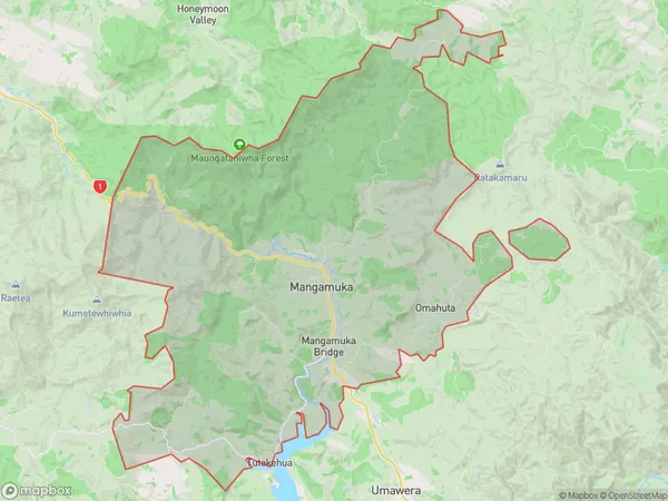
332 people live in Mangamuka, Kaikohe-Hokianga Community, NZMangamuka Suburb Area Map (Polygon)
Mangamuka Introduction
Mangamuka is a small township in Northland, New Zealand. It is located on State Highway 12 and is known for its scenic views and as the birthplace of the famous poet and writer Janet Frame. The town has a population of around 100 people and is surrounded by lush forests and rolling hills.Region
Major City
Suburb Name
MangamukaOther Name(s)
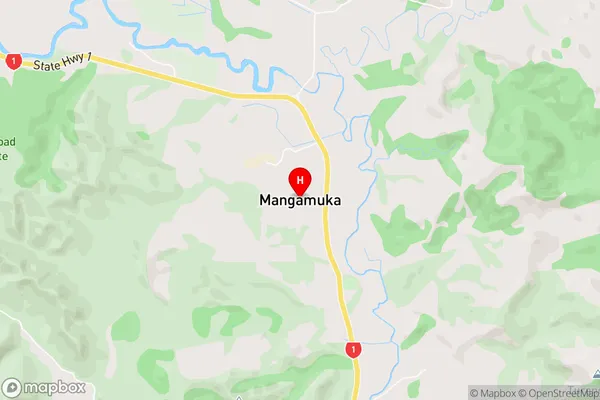
Mangataipa, Mohuiti, Omahuta, Orawau, TutekehuaMangamuka Area Map (Street)
Local Authority
Far North DistrictFull Address
Mangamuka, Far North District, New ZealandAddress Type
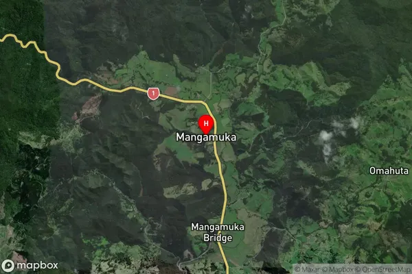
Locality in Town OkaihauMangamuka Suburb Map (Satellite)
Country
Main Region in AU
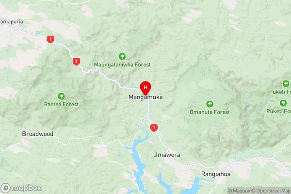
NorthlandMangamuka Region Map
Coordinates
-35.2169686,173.5408754 (latitude/longitude)Distances
The distance from Mangamuka, Okaihau, Far North District to NZ Top 10 Cities