Massey Suburbs & Region, Massey Map & Postcodes in Massey, Waitakere City, Auckland
Massey Postcodes, Massey ZipCodes, Massey , Massey Auckland, Massey Suburbs, Massey Region, Massey Map, Massey Area
Massey Region (Massey East, Massey West, Royal Heights Region)
Massey Suburbs
Massey is a suburb place type in Waitakere City, Auckland, NZ. It contains 0 suburbs or localities.Massey district
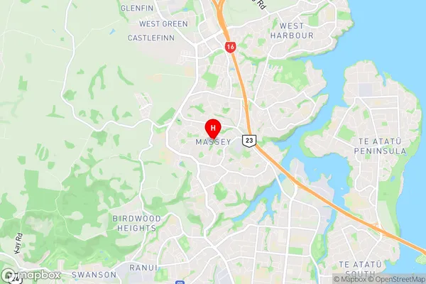
WaitakereMassey Region Map

Massey Introduction
Massey is a suburb of Auckland, New Zealand, and is located in the Waitakere City Council area. It is a residential area with a mix of housing types, including apartments, townhouses, and single-family homes. The suburb has a large population, with many people from different cultures and backgrounds living there. It is known for its good schools, parks, and recreational facilities, including Massey Park and the Massey University campus. Massey also has a shopping center with a variety of stores and restaurants, as well as a medical center and a library. The suburb is well-connected to other parts of Auckland, with easy access to the motorway and public transportation.Massey Region
Massey City
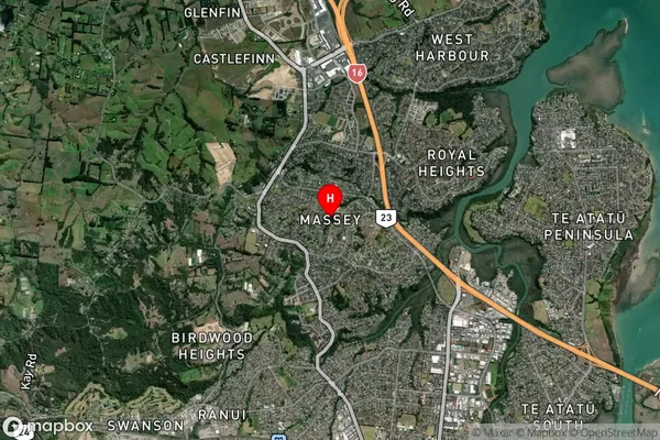
Massey Satellite Map

Full Address
Massey, Waitakere City, AucklandMassey Coordinates
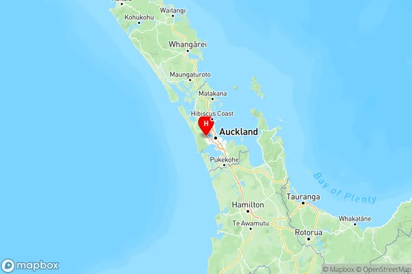
-36.840284,174.611546 (Latitude / Longitude)Massey Map in NZ

NZ Island
North IslandCountry
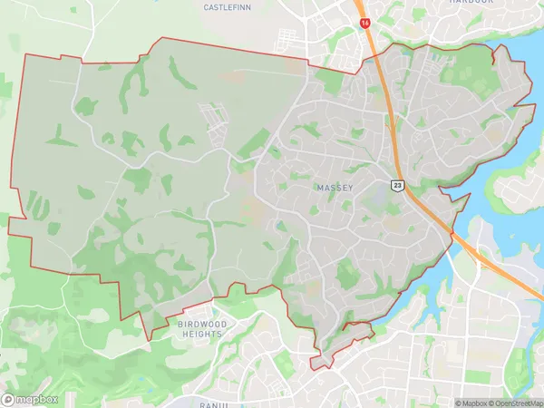
Massey Area Map (Polygon)

Name
MasseyAdditional Name
Massey East, Massey West, Royal HeightsLocal Authority
Auckland
Massey Suburbs (Sort by Population)
Massey also known as Massey East, Massey West, Royal Heights. Massey suburb has around
21.3 square
kilometers.There are more than 27682 people (estimated)
live in Massey, Henderson-Massey, Auckland, New Zealand.