Massey Area, Massey Postcode(0614) & Map in Massey
Massey Area, Massey Postcode(0614) & Map in Massey, Auckland, New Zealand
Massey, Auckland, New Zealand
Massey Area (estimated)
21.3 square kilometersMassey Population (estimated)
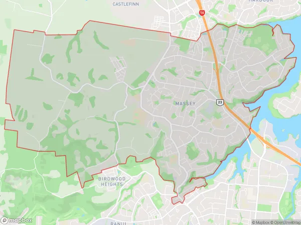
27682 people live in Massey, Henderson-Massey, NZMassey Suburb Area Map (Polygon)
Massey Introduction
Massey is a suburb in Auckland, New Zealand, with a population of around 30,000 people. It is located in the southern part of the city and is known for its large student population due to the Massey University campus being located there. The suburb has a variety of shops, restaurants, and recreational facilities, including a library and a sports complex. Massey also has good transport links to the city center, with regular bus and train services.Region
Major City
Suburb Name
MasseyOther Name(s)
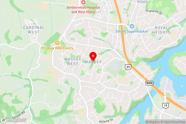
Massey East, Massey West, Royal HeightsMassey Area Map (Street)
Local Authority
AucklandFull Address
Massey, Auckland, New ZealandAddress Type
Suburb in City AucklandMassey Suburb Map (Satellite)

Country
Main Region in AU
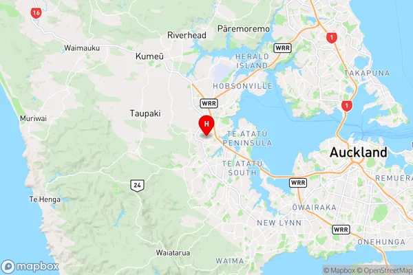
AucklandMassey Region Map
Coordinates
-36.8402845,174.6115457 (latitude/longitude)Distances
The distance from Massey, Auckland, Auckland to NZ Top 10 Cities