Ostend Suburbs & Region, Ostend Map & Postcodes in Ostend, Waiheke Island, Auckland
Ostend Postcodes, Ostend ZipCodes, Ostend , Ostend Auckland, Ostend Suburbs, Ostend Region, Ostend Map, Ostend Area
Ostend Region
Ostend Suburbs
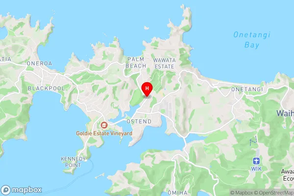
Ostend is a suburb place type in Waiheke Island, Auckland, NZ. It contains 0 suburbs or localities.Ostend Region Map
Ostend Introduction
Ostend is a suburb of Auckland, New Zealand. It is located in the Eastern Bays area and is known for its beachfront properties, cafes, and restaurants. The suburb has a population of around 2,000 people and is situated between the Tamaki River and the Eastern Beach. Ostend is a popular destination for tourists and locals alike, with its beautiful beaches, peaceful atmosphere, and close proximity to the city. The area is also home to a number of historic buildings, including the Ostend Lighthouse and the Ostend Museum.Ostend Region
Ostend City
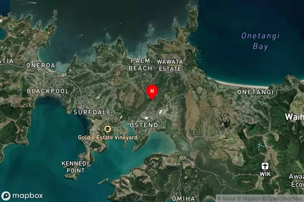
Ostend Satellite Map
Full Address
Ostend, Waiheke Island, AucklandOstend Coordinates
-36.791594,175.047565 (Latitude / Longitude)Ostend Map in NZ
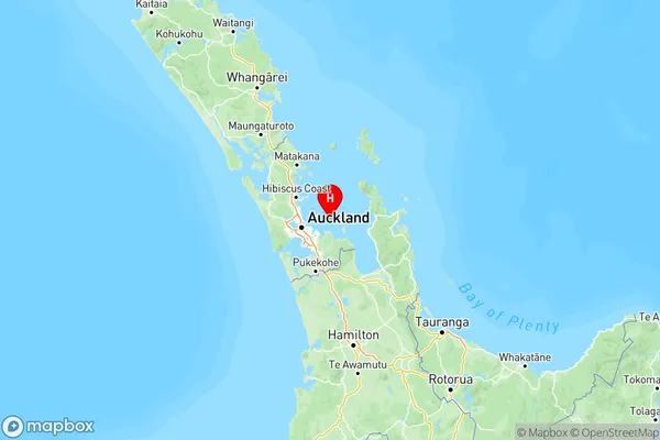
NZ Island
North IslandCountry
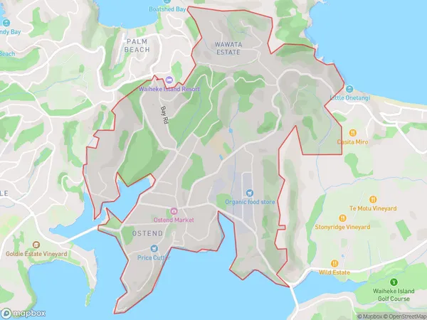
Ostend Area Map (Polygon)
Name
OstendAdditional Name
Local Authority
Auckland
Ostend Suburbs (Sort by Population)
Ostend suburb has around
4.9 square
kilometers.There are more than 2039 people (estimated)
live in Ostend, Waiheke, Auckland, New Zealand.