Onetangi Suburbs & Region, Onetangi Map & Postcodes in Onetangi, Waiheke Island, Auckland
Onetangi Postcodes, Onetangi ZipCodes, Onetangi , Onetangi Auckland, Onetangi Suburbs, Onetangi Region, Onetangi Map, Onetangi Area
Onetangi Region
Onetangi Suburbs
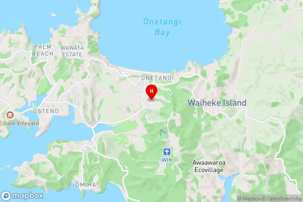
Onetangi is a suburb place type in Waiheke Island, Auckland, NZ. It contains 0 suburbs or localities.Onetangi Region Map
Onetangi Introduction
Onetangi is a suburb of Auckland, New Zealand, located on the North Shore. It is known for its beautiful beaches, lush gardens, and peaceful atmosphere. The suburb has a population of around 10,000 people and is located approximately 20 kilometers from the Auckland city center. Onetangi Beach is a popular spot for swimming, surfing, and sunbathing, and it is surrounded by a range of cafes and restaurants. The area also has several parks and recreational facilities, including the Onetangi Sports Park and the Onetangi Golf Course. Onetangi is a popular destination for families and retirees, and it is known for its safe and friendly community.Onetangi Region
Onetangi City
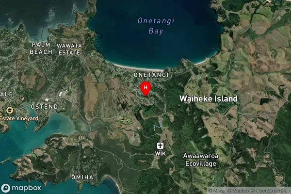
Onetangi Satellite Map
Full Address
Onetangi, Waiheke Island, AucklandOnetangi Coordinates
-36.795442,175.080613 (Latitude / Longitude)Onetangi Map in NZ
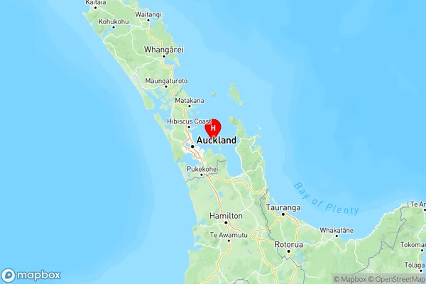
NZ Island
North IslandCountry
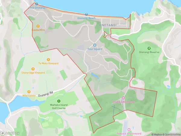
Onetangi Area Map (Polygon)
Name
OnetangiAdditional Name
Local Authority
Auckland
Onetangi Suburbs (Sort by Population)
Onetangi suburb has around
3.3 square
kilometers.There are more than 1062 people (estimated)
live in Onetangi, Waiheke, Auckland, New Zealand.