Oneroa Suburbs & Region, Oneroa Map & Postcodes in Oneroa, Waiheke Island, Auckland
Oneroa Postcodes, Oneroa ZipCodes, Oneroa , Oneroa Auckland, Oneroa Suburbs, Oneroa Region, Oneroa Map, Oneroa Area
Oneroa Region (Blackpool Region)
Oneroa Suburbs
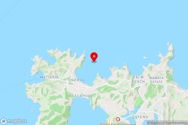
Oneroa is a suburb place type in Waiheke Island, Auckland, NZ. It contains 0 suburbs or localities.Oneroa Region Map
Oneroa Introduction
Oneroa is a suburb on the North Shore of Auckland, New Zealand. It is known for its beautiful beaches, lush parks, and vibrant community. The suburb is home to a variety of shops, restaurants, and cafes, as well as a popular yacht club and marina. Oneroa is also well-known for its stunning coastal walks and views of the Hauraki Gulf. The area has a rich history, with many historic buildings and sites dating back to the early 19th century.Oneroa Region
Oneroa City
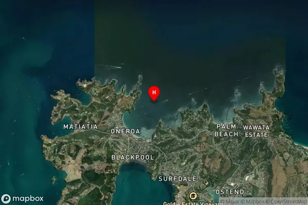
Oneroa Satellite Map
Full Address
Oneroa, Waiheke Island, AucklandOneroa Coordinates
-36.774182,175.019445 (Latitude / Longitude)Oneroa Map in NZ

NZ Island
North IslandCountry
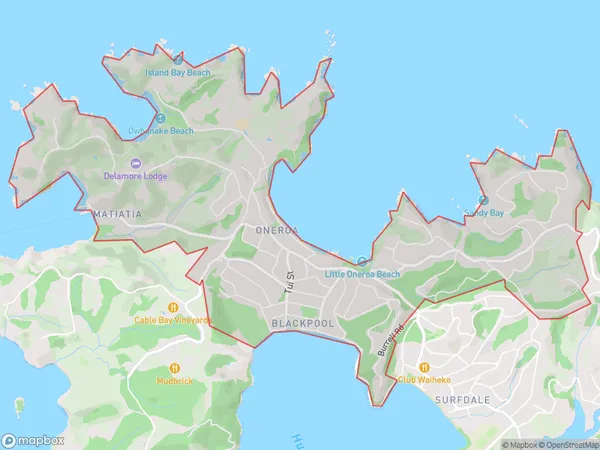
Oneroa Area Map (Polygon)
Name
OneroaAdditional Name
BlackpoolLocal Authority
Auckland
Oneroa Suburbs (Sort by Population)
Oneroa also known as Blackpool. Oneroa suburb has around
7.0 square
kilometers.There are more than 2326 people (estimated)
live in Oneroa, Aotea Great Barrier, Auckland, New Zealand.