Omiha Suburbs & Region, Omiha Map & Postcodes in Omiha, Waiheke Island, Auckland
Omiha Postcodes, Omiha ZipCodes, Omiha , Omiha Auckland, Omiha Suburbs, Omiha Region, Omiha Map, Omiha Area
Omiha Region (Rocky Bay Region)
Omiha Suburbs
Omiha is a suburb place type in Waiheke Island, Auckland, NZ. It contains 0 suburbs or localities.Omiha Postcodes
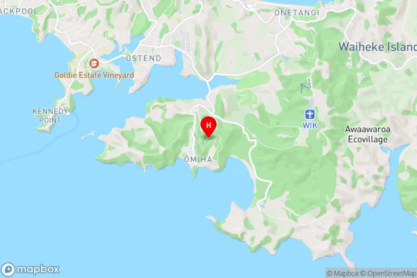
Omiha Region Map
Omiha Introduction
Omiha is a suburb of Auckland, New Zealand, located in the North Shore City district. It is known for its peaceful atmosphere, scenic views, and well-maintained parks. The suburb has a mix of residential properties and light industrial areas, with a population of around 10,000 people. Omiha is surrounded by natural attractions, including the Omiha Beach Reserve and the Omiha Forest Park. It is also home to several schools, including Omiha School and St John's College. The area is well-connected to other parts of Auckland via public transport, and there are several shopping centers and restaurants in the vicinity.Omiha Region
Omiha City
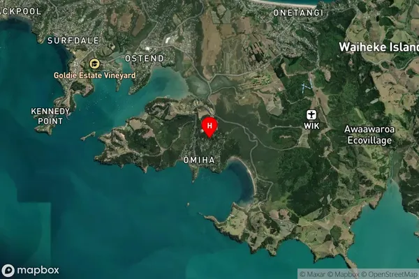
Omiha Satellite Map
Full Address
Omiha, Waiheke Island, AucklandOmiha Coordinates
-36.814144,175.060805 (Latitude / Longitude)Omiha Map in NZ
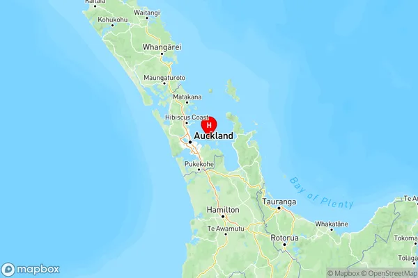
NZ Island
North IslandCountry
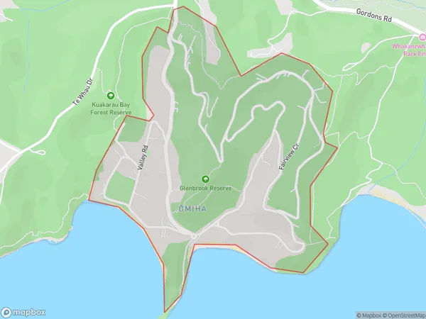
Omiha Area Map (Polygon)
Name
OmihaAdditional Name
Rocky BayLocal Authority
Auckland
Omiha Suburbs (Sort by Population)
Omiha also known as Rocky Bay. Omiha suburb has around
0.9 square
kilometers.There are more than 556 people (estimated)
live in Omiha, Waiheke, Auckland, New Zealand.