Hingaia Suburbs & Region, Hingaia Map & Postcodes in Hingaia, Papakura, Auckland
Hingaia Postcodes, Hingaia ZipCodes, Hingaia , Hingaia Auckland, Hingaia Suburbs, Hingaia Region, Hingaia Map, Hingaia Area
Hingaia Region (Elletts Beach, Hingaia, Te Hihi Region)
Hingaia Suburbs
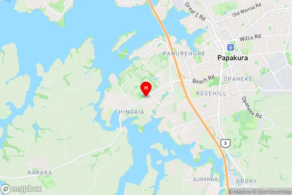
Hingaia is a suburb place type in Papakura, Auckland, NZ. It contains 0 suburbs or localities.Hingaia Region Map

Hingaia Introduction
Hingaia is a suburb of Auckland, New Zealand, located in the North Shore Region. It is known for its beautiful beaches, lush forests, and tranquil atmosphere. The suburb has a population of around 4,000 people and is situated between the Kaipara Harbour and the Hingaia Forest. Hingaia is a popular destination for outdoor enthusiasts, with many walking and hiking trails, and a nearby golf course. The area also has a community center, a library, and a supermarket.Hingaia Region
Hingaia City
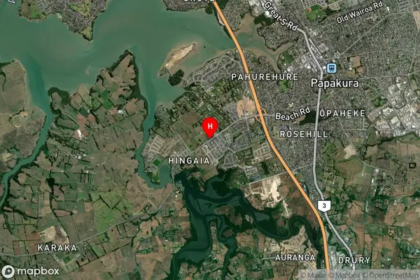
Hingaia Satellite Map

Full Address
Hingaia, Papakura, AucklandHingaia Coordinates
-37.0785022,174.9165088 (Latitude / Longitude)Hingaia Map in NZ

NZ Island
North IslandCountry
Hingaia Area Map (Polygon)
Not available for nowName
KarakaAdditional Name
Elletts Beach, Hingaia, Te HihiLocal Authority
Auckland
Hingaia Suburbs (Sort by Population)
Karaka also known as Elletts Beach, Hingaia, Te Hihi. Karaka suburb has around
-1.2 square
kilometers.There are more than 8702 people (estimated)
live in Karaka, Franklin, Auckland, New Zealand.