Karaka Area, Karaka Postcode(2580) & Map in Karaka
Karaka Area, Karaka Postcode(2580) & Map in Karaka, Auckland, New Zealand
Karaka, Auckland, New Zealand
Karaka Postcodes
Karaka Area (estimated)
-1.2 square kilometersKaraka Population (estimated)
8702 people live in Karaka, Franklin, NZKaraka Suburb Area Map (Polygon)
Not available for nowKaraka Introduction
Karaka is a suburb of Auckland, New Zealand, with a population of around 30,000 people. It is located in the southern part of the city and is known for its rural atmosphere, scenic parks, and excellent schools. The suburb has a variety of housing options, from large executive homes to affordable apartments and townhouses. Karaka also has a vibrant community center with a library, swimming pool, and sports facilities. The area is well-connected to other parts of Auckland via public transport, and it is only a short drive to the city center.Region
Major City
Suburb Name
KarakaOther Name(s)
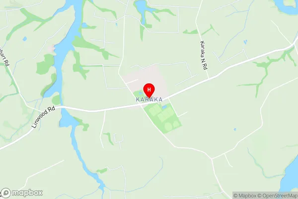
Elletts Beach, Hingaia, Te HihiKaraka Area Map (Street)
Local Authority
AucklandFull Address
Karaka, Auckland, New ZealandAddress Type
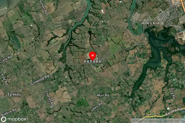
Locality in Town PapakuraKaraka Suburb Map (Satellite)
Country
Main Region in AU
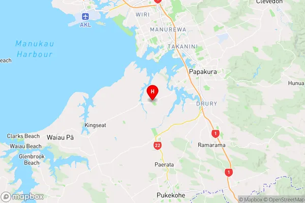
AucklandKaraka Region Map
Coordinates
-37.0995979,174.8789863 (latitude/longitude)Distances
The distance from Karaka, Papakura, Auckland to NZ Top 10 Cities