Paremoremo Suburbs & Region, Paremoremo Map & Postcodes in Paremoremo, North Shore City, Auckland
Paremoremo Postcodes, Paremoremo ZipCodes, Paremoremo , Paremoremo Auckland, Paremoremo Suburbs, Paremoremo Region, Paremoremo Map, Paremoremo Area
Paremoremo Region (Albany North, Albany Village Region)
Paremoremo Suburbs
Paremoremo is a suburb place type in North Shore City, Auckland, NZ. It contains 0 suburbs or localities.Paremoremo district
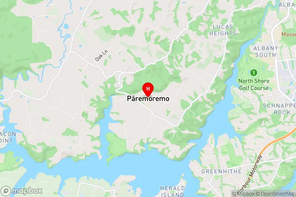
North ShoreParemoremo Region Map

Paremoremo Introduction
Paremoremo is a suburb of Auckland, New Zealand, located in the North Shore City Council area. It is known for its peaceful atmosphere, scenic views, and proximity to the water. The suburb has a population of around 10,000 people and is home to a variety of housing types, including apartments, townhouses, and detached homes. Paremoremo is surrounded by natural attractions, including the Paremoremo Forest Park, which offers walking and hiking trails, and the Paremoremo Bay Beach, which is a popular spot for swimming and sunbathing. The area also has a number of schools, including Paremoremo Primary School and Paremoremo College.Paremoremo Region
Paremoremo City
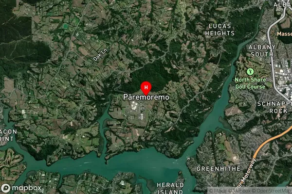
Paremoremo Satellite Map

Full Address
Paremoremo, North Shore City, AucklandParemoremo Coordinates
-36.75325,174.648348 (Latitude / Longitude)Paremoremo Map in NZ

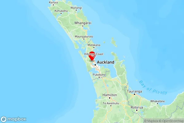
NZ Island
North IslandCountry
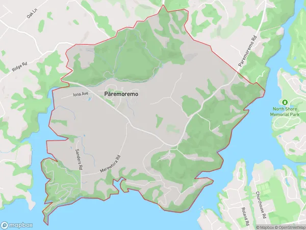
Paremoremo Area Map (Polygon)

Name
ParemoremoAdditional Name
Albany North, Albany VillageLocal Authority
Auckland
Paremoremo Suburbs (Sort by Population)
Paremoremo also known as Albany North, Albany Village. Paremoremo suburb has around
9.6 square
kilometers.There are more than 1616 people (estimated)
live in Paremoremo, Upper Harbour, Auckland, New Zealand.